ClimateWatch: NOVEMBER, DEC/JAN. Just what is going on with El Niño?! (+VIDEO & 13 Maps)
1/11/2023 12:30am

> From the WeatherWatch archives
Warmer than average sea surface temperatures near Australia and north of NZ are complicating the El Niño outlook for our part of the world.
El Niño is measured at the equator and means warmer than usual sea surface conditions exist there, over towards the Americas. But marine heatwaves in the tropics directly north of NZ in October helped produce the earliest ever Southern Hemisphere Category 5 Tropical Cyclone on record… and warmer than average conditions continue along eastern Australia which may be a positive for them bringing more rain. Yet El Niño is very much in place across the Pacific – and it’s strengthening.
So a “broken” El Niño pattern may be quite welcome in NZ by most farmers and growers who may want some drier weather to kick in – but not a major dry to kick in. The warmer than average air and sea surface conditions for this El Niño make it unlike one we have ever experienced before in our records.
It’s worth noting our last ClimateWatch update on October 1 said that Spring + El Niño = A hat on a hat. In other words, it can make spring more spring-like. We’ve seen wind and heat temperature records broken this spring in both eastern NZ and eastern Australia – well in line with El Niño. But it’s been wetter than some people thought spring might be. As we keep saying, El Niño is not made in a lab with scientists in white coats – it’s unique and a bit messy and while a big general driver of our weather systems here in NZ our location on earth means “chaos” is our friend and can break the dry up. At least for now.
The long range data still suggests hotter and drier weather is likely, especially for inland and eastern places this summer, whilst southern and western NZ have a mixture of warmer and more average to cooler days (as El Nino usually brings in more sou’westers too, which are cloudier and cooler for the west and south of NZ).
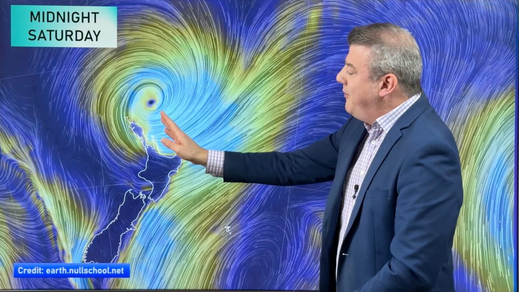
“Variety” in November means there is a mixture of low and high pressure for both New Zealand and Australia – but perhaps leaning slightly drier in the month or two ahead for the North Island of New Zealand whilst the South Island has a bit more Southern Ocean influence. But the tropics north of us are active around the Solomon Islands and give us a “wild card” for possible rain this summer, as we saw with the remnants of Lola at the end of October. Not the norm – but possible.
Either way, below is our best thinking for the next three months ahead based on the data we have today.
*ClimateWatch is NOT a weather forecast or climate change forecast – it’s a seasonal outlook tracking weather systems but it’s more of a general big picture on how the climate is being driven and what that means for NZ generally. It’s designed to help growers, farmers, students, small business owners and even Government Agencies better plan ahead. It’s an entirely free service and is part of our public commitment to back the many New Zealanders who back our small business.


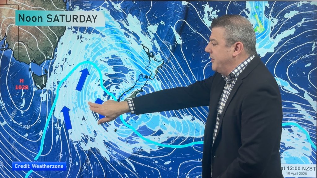
AIR PRESSURE… where the highs and lows will generally be this month…


POLITICS:
Unfortunately NZ Government Agency NIWA delays tax funded data for their own commercial interests. This means the tax funded NIWA soil moisture map doesn’t include rain that fell over the previous day (the last day of October in this case, which was heavy around East Cape and Coromandel Peninsula). Due to NIWAs increasingly commercial behaviour (as a Crown Research Institute, 100% owned by the NZ public) we are now working with private satellite organisations to replace and UPGRADE the soil moisture maps here in NZ. The Government has just launched a second investigation into the NIWA/MetService double up, despite ignoring the last independent investigation by PricewaterhouseCoopers several years ago which said NZ/NIWA has the most restrictive and expensive weather data access in the world. In other words: data you must tax fund NIWA then blocks you from freely using, unlike all other modern nations on earth. NIWA’s CEO has snubbed The NZ Listener and the Editor of the NZ Herald in answering what is going on. The Herald was refused basic answers by NIWA – promoting the Herald Editor at Large to recently lay a formal complaint with the Ombudsman. We keenly wait for the result of that complaint and thank the NZ Herald and The Listener for their efforts in trying to get NIWA management to, at the very least, simply be transparent over the most basic questions of their newfound commercial weather intentions. Niwa has also mislead a Select Committee about their commercial intentions. Extraordinary disappointing behaviour from NIWA & the NZ Government. This is why we use so many maps from Australia’s Bureau of Meteorology (BoM) – as they are a true public science resource for our part of the world.
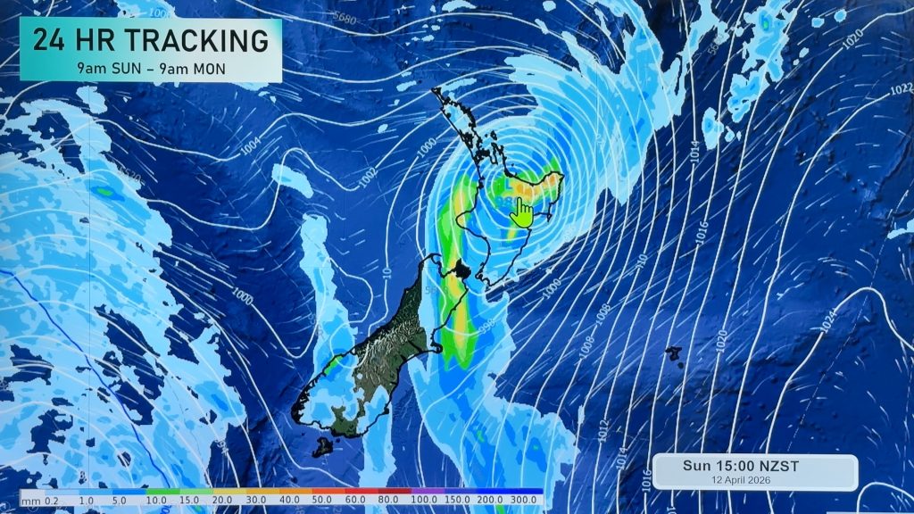
UPCOMING RAIN…


- ClimateWatch is a premium product made by WeatherWatch.co.nz for RuralWeather.co.nz – in association with our official business partnership with IBM.
- What did we say last month? Compare our October update with our November one here
- WeatherWatch.co.nz is proud to be a small Kiwi business providing unique services to help farmers, growers, tradies, students and businesses across all parts of New Zealand – both private and public sector.
- Please Contact Us if you need unique commercial weather, climate and data services tailored to you. We sell the world’s most accurate weather data, powered by IBM Watson.
Comments
Before you add a new comment, take note this story was published on 1 Nov 2023.


Add new comment
Lee on 1/11/2023 4:54am
Hi there, can I ask what you’re thinking for the 4th week of November please? Particularly around the 27th if you have any idea of that yet. Thank you. 🙂
Reply
WW Forecast Team on 1/11/2023 5:41am
Hi Lee – We don’t provide weather forecasts that far out sorry. Based on the last map we have in ClimateWatch today for Week 3 it shows high pressure in the Australia region with NZ somewhat in that high pressure belt. Maps beyond this aren’t overly helpful for planning a specific date sorry.
– WW
Reply
Glen on 1/11/2023 3:28am
You’d bloody hope it leans drier for Auckland after the appalling “Summer” we had!
Reply