> From the WeatherWatch archives
Our early start to spring continues this weekend as the first front from our new weather pattern moves in. The shift in patterns is a significant one, away from the large Tasman Sea lows and back to more highs in the north and bigger lows in the south.
It’s these southern lows that will shoot cold fronts into the Tasman Sea – weakening as they head north and east. While these fronts tend to deliver more showers and often more unsettled days the rainfall totals are expected to reduce in many regions predicts WeatherWatch.co.nz.
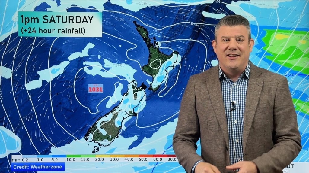
The front will move into the West Coast of the South Island on Saturday and rain warnings are expected says WeatherWatch.co.nz. The front will be preceded by strong west to north west winds then followed early next week by cooler sou’westers. It’s what many forecasters would describe as a classic spring front.
Head weather analyst Philip Duncan says eastern areas will hopefully see more sun and less rain over the coming weeks. “Hawkes Bay and Gisborne have had a very wet year and even this week the rain and showers have continued while many others have seen the sun return”.
Mr Duncan says eastern areas of New Zealand are still going to see rain or showers most weeks but the rainfall totals and longevity should reduce. “These big lows we’ve been having for the past four or five weeks have ensured that northern and eastern areas particularly have received prolonged rain events, often with sub-tropical connections. This new weather pattern makes the rain bands move through much faster with the bulk of the rain likely to fall in western areas”.
“Nature often has a way of evening things out and I guess this was Mother Nature hitting the reset button” says Duncan.
While WeatherWatch.co.nz says an early spring has greeted most New Zealanders it’s still wintry for some in the Deep South. A heavy frost kicked off the day yesterday says our Invercargill reporter Malcolm Gayfer. “We had a minus six degree frost in Invercargill and minus five degree frost in Gore – a bit late in the season for hefty frosts” he told WeatherWatch.co.nz. The air temperatures were around minus three.
But even for Southland and Otago there are signs of spring in the future forecasts, with warmer westerlies and more days with sun.
“It might sound crazy today but as spring fully develops the recent heavy rains in the east may become only a distant memory” says Mr Duncan. “If El Nino forms, as it’s expected to do, that could lock in this dry weather pattern for the east”.
WeatherWatch.co.nz is monitoring the various international climate organisations and will bring you the latest on El Nino as soon as we have it.
– Homepage image / Andrew Blair
– WeatherWatch.co.nz
Comments
Before you add a new comment, take note this story was published on 22 Aug 2012.


Add new comment
Jeffrey on 22/08/2012 10:14pm
Does el nino mean a few more hot, dry norwesters for Canterbury? Unlike last summer…?
Reply
WW Forecast Team on 23/08/2012 1:37am
Hi Jeffrey – yes El Nino is rarely welcomed by farmers in the east. Places like Otago, Canterbury, Marlborough, Wairarapa, Hawkes Bay and Gisborne all can have very dry weather with El Nino due to much more westerlies. But no firm prediction yet for summer – if it’s a weak el nino we may hardly be affected by it down here in NZ.
– WW
Reply
LM on 22/08/2012 9:43pm
Wintry? It’s not a howling southerly with hail!!
Reply
deepsouthweather on 22/08/2012 8:31pm
We have hardly had a winter!! Apart from frost its been fantastic! Springs been here for weeks even the flowers have started bloomng although the frost has started to deal with them. And more sun!! Gee can we fit much more in a day. Only 9.6mm rain this month which followed a record dry July! Stop selling us short!
Reply
Guest on 22/08/2012 8:41pm
Yeah i agree so being so stubborn (North Islanders) and tell people how great its been down here!
Metservice are forecasting us to be mid to late teens for the next week on top of the fact we have had little rainfall you guys need to get a weather station in middle of town last december we got sold short of our almost 30 degrees every day with only 22-25
Reply
RW on 22/08/2012 7:11pm
Wellington is having an abominably dull damp month, with a record low sun tally for August possible – adding to an already subtantial deficit this year (with the 2 previous years also well below average!). Any pattern change now could only be an improvement.
Reply
Stuart on 23/08/2012 1:43am
Yep, dull and damp, with emphasis on the dull…in fact it has been rather boring weather, not even the typical Wellington high winds. I can only remember a couple of decent southerlies this winter. If only there was another snow, like this time last year, to perk things up a little.
Reply