> From the WeatherWatch archives
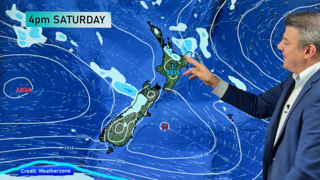
The weekend should start mostly settled for many of us but cloud and rain with strong winds are building and edging closer to the northern parts of the nation today.
It looks like a wet few days are likely for much of the North island as a system moves in and hangs about unloading its contents.
Winds and rain are expected to come in from the easterly quarter and gain strength with gale force conditions and driving rain.
Once again, many western and southern parts of the South Island shouldn’t see too much unsettled weather as the main feature once again avoids the southern regions however temperatures wont necessarily be overly warm.Nights are likely to dip below freezing in inland areas but plenty of sunshine during the day should see the temperatures lift, except in the cases of inland mist and fog.
Comments
Before you add a new comment, take note this story was published on 2 Jul 2010.


Add new comment
Dave on 2/07/2010 10:51pm
I notice Metservice are saying NE gales. All the models I have seen show the wind as E, tending SE eventually?
Reply
sw on 2/07/2010 7:26pm
Wouldnt be too much of an ask (since we have another few days of wet) for the cloud as usual appears at dawn after a clear night rather than at days end ,for some to get outdoor tasks done with 1 or 2 drying days,knew it go from a drought to a flood.
Reply
RW on 3/07/2010 7:18am
Since Auckland was the warmest and sunniest main centre (with above average sunshine), while Wellington (particularly) and Christchurch were much cloudier and wetter than average, your complaint gets no sympathy at all from these parts.
Reply