> From the WeatherWatch archives
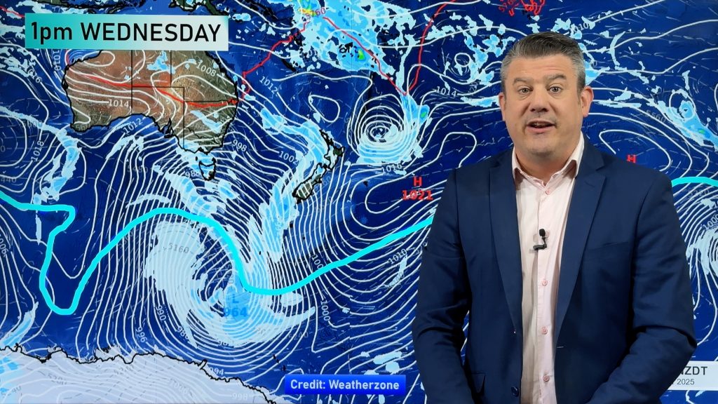
Another Antarctic blast is coming towards New Zealand setting in across the deep south tonight and moving north during Sunday says WeatherWatch.co.nz.
The new polar blast is smaller than the one two weeks ago and isn’t likely to bring the same amount of snow, nor will it bring snow to towns not used to seeing snow flakes. But it’s still going to pack a punch with the temperatures taking a hit especially in Southland and Otago then later into Wellington and across the North Island during Sunday and into Monday.
Unlike the system two weeks ago, which generally produced a strong southerly flow over the nation, this system has more of a south-west flow. Might not sound like a great deal but that slight shift in direction will mean most eastern areas will miss out on much precipitation.
Oddly, the system has almost the exact same timing as the one two weeks ago with cold weather starting in the deep south later on Saturday, heading north on Sunday and everyone feeling the cold on Monday.
The low generating the cold snap is considerably smaller than the July snow storm with the centre of this low also much further south of New Zealand.
However heavy snow is still likely above 300m in Southland and Otago – especially the Catlins area. It’s possible snow flakes will fall to sea level – or near it – around Southland and perhaps Otago but it is unlikely to settle. Snow isn’t expected in Christchurch.
Travel plans flying in and out of Invercargill, Queenstown and Dunedin may be affected with a higher risk of road travel problems across alpine highways tonight and across Sunday in the South Island and overnight Sunday and into Monday on the North Island’s Desert Road.
As the cold change moves north during Sunday squally showers, some with hail and perhaps thunder are expected along the western coastline of both islands. We’ll track this in more detail on Sunday.
WeatherWatch.co.nz advises farmers to move stock to sheltered areas with strong winds and snow/sleet showers creating stressful conditions for animals. Wind chills in exposed areas are expected to be well below zero on Sunday in the deep south.
– WeatherWatch.co.nz
Comments
Before you add a new comment, take note this story was published on 6 Aug 2011.


Add new comment
South of Whangarei on 7/08/2011 3:29am
Currently squally showers here. Not real cold though. Looks more like southwest than southeast to me.
Reply
Guest on 6/08/2011 4:39am
Flights would only be affected if there was snow/ice on the runway which doesn’t look likely.
Reply
WW Forecast Team on 6/08/2011 4:49am
There will also be strong to gale force winds which could affect smaller planes.
– WW
Reply