> From the WeatherWatch archives
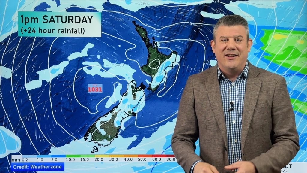
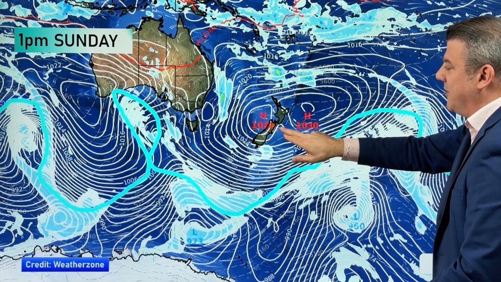
We have another unsettled week of weather with two cold changes set to bring more wind, rain, snow and hail to parts of New Zealand but sunny, dry, weather to plenty of regions too.
With the school holidays now underway many will be extra focused on the forecast.
Weather Highlights:
- Monday the main threat is heavy downpours in the North Island, easing this afternoon.
- NorthWest gales are possible in the Southland during Monday night.
- A low pressure system will drag a colder airmass from the Southern Ocean later on Tuesday and across Wednesday for areas south of about Taranaki to Wairarapa (the entire South Island).
- During Tuesday night temperatures will be significantly lower over the South Island.
- Frosts are possible
- Snow on the South Island Alpine Passes are also expected


– WeatherWatch.co.nz (an official business partner of IBM and The Weather Company)
Comments
Before you add a new comment, take note this story was published on 16 Apr 2018.


Add new comment