> From the WeatherWatch archives
While the weather is quite settled and tomorrow is looking no different for most, a few late afternoon heat showers are likely about the Central North Island (CNI) and there is the low risk that one or two of these showers may become heavy and thundery before clearing at night.
These convective showers are generally as a result of settled conditions – that is one way to look at them in a positive light, a bit of relatively cold air aloft also helps the situation.
A similar weather pattern may occur about the ranges of North Otago and perhaps South Canterbury however the result of any showers turning thundery is a bit lower then up north, still, something to keep an eye on.
The second main feature about tomorrow is a front in the Tasman Sea moving towards the South Island, it is moving at a slightly more improved rate and will move onto the lower South Island tomorrow evening. This is likely to bring some rain or a few showers to Fiordland from then onwards.
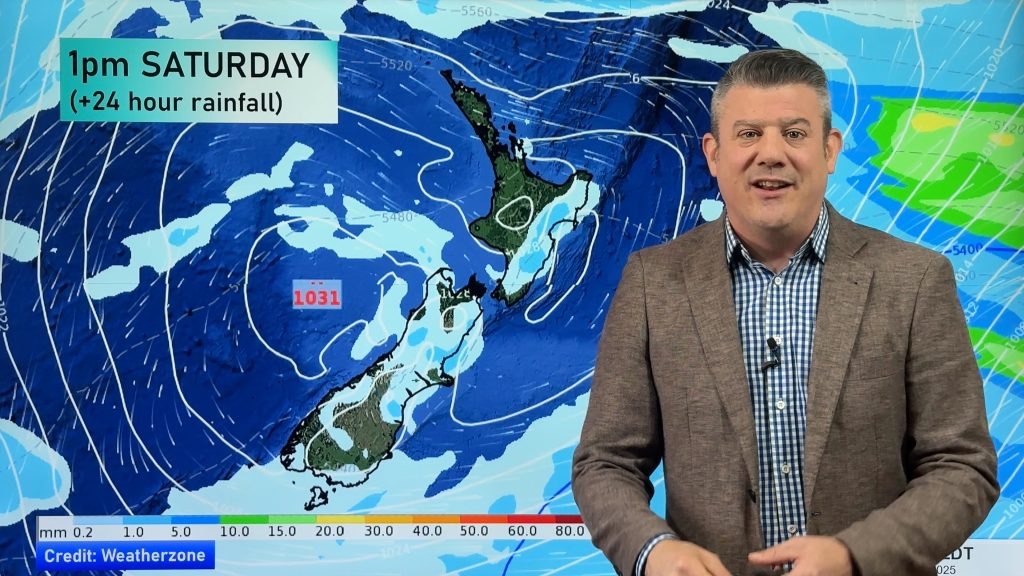
Homepage image / 1pm 22nd November rain map – weathermap.co.nz
– By Aaron Wilkinson, WeatherWatch.co.nz
Comments
Before you add a new comment, take note this story was published on 21 Nov 2012.


Add new comment