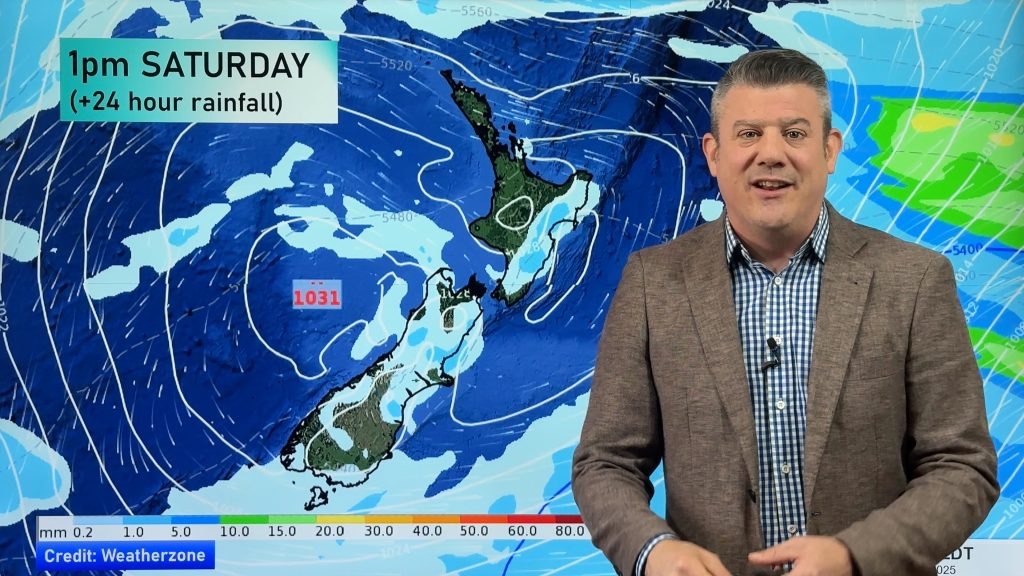
A few cold fronts bring rain, otherwise settled next few days (+3 Maps)
1/10/2018 8:14pm

> From the WeatherWatch archives
Currently, two cold fronts are located at both ends of New Zealand. The northern front faces away to the northeast direction, so the weather is gradually expected to improve over the North Island. Meanwhile, the cold front located at the south end of NZ will move northeast across the South Island while weakening. This front will bring rain and a little snow in the highlands, over the South Island.
On early Wednesday this is followed by high pressure, and associated ridges is expected to cover NZ. But on late Wednesday a new front is forecast to approach from the southwest and move into the West Coast. On Thursday this front may bring heavy rain over southwestern parts of the South Island.


– WeatherWatch.co.nz
Comments
Before you add a new comment, take note this story was published on 1 Oct 2018.


Add new comment
Ellie on 2/10/2018 2:27am
What is the latest on the Tropical Cyclone that might make a direct hit on NZ?
Reply
WW Forecast Team on 2/10/2018 3:09am
Hi Ellie,
There is no tropical cyclone coming towards NZ, but the remnants/leftover areas of rain from a cyclone that existed last week will come down closer to northern NZ later this week. Current thinking is that the rain will remain offshore.
Cheers
Phil D
Reply