> From the WeatherWatch archives
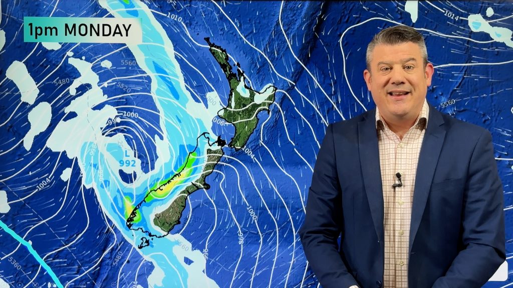
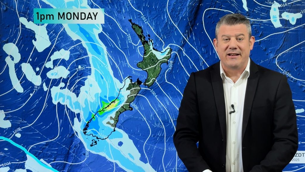
Our video was released later than usual today so we published some extra maps to make sense of the weather across New Zealand and Australia over the coming days.
Main features are:
- High pressure exiting Australia and moving into NZ (bringing colder nights, more settled days and a milder weekend).
- Low pressure moving along southern Australia with heavy rain for some eastern areas, then that system reaches NZ next week with western rain followed by yet another brief wintry snap.


Comments
Before you add a new comment, take note this story was published on 6 Sep 2022.


Add new comment