A cooler week coming, but for most it’s still warmer than average (+Maps from Mon-Fri)
9/12/2017 11:15pm

> From the WeatherWatch archives
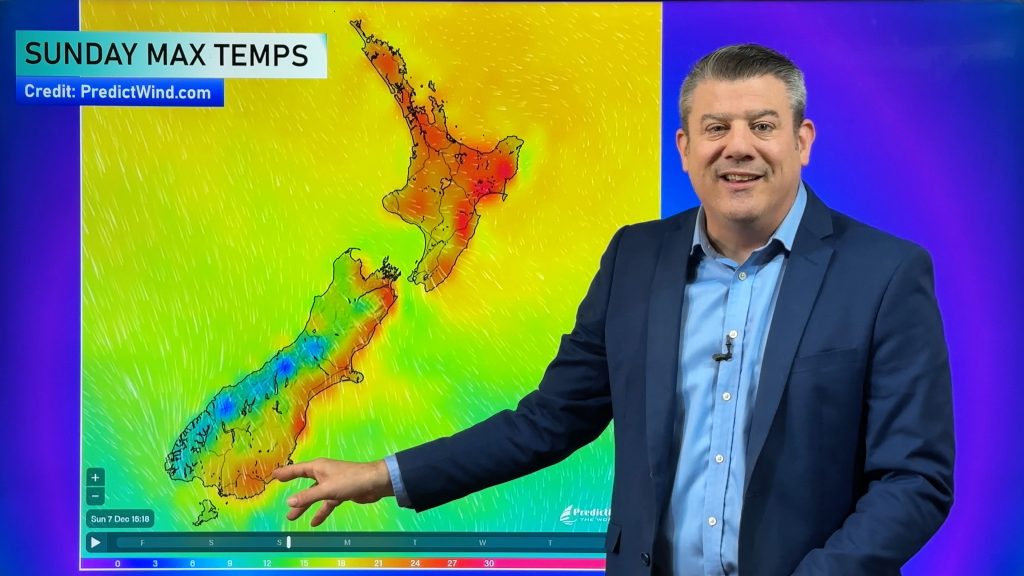
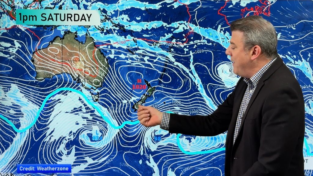
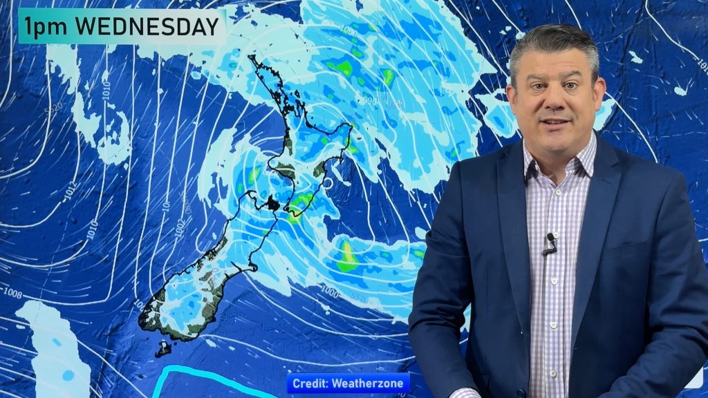
A cool down is coming, especially for those in the very south and east of both islands, but for many areas the week ahead remains warmer than average or average.
Inland areas are least likely to feel the cool down, although on Friday the Central North Island will be cooler and eastern areas even for more for them.
The southerly change isn’t major but it will be enough to knock back humidity levels too later in the week for Northerners, even if daytime highs remain 2 to 7 degrees above normal for the first half of December.
Some areas will remain in the more extreme 8+ degrees above normal group especially at the start of the week on Monday and Tuesday. By Wednesday these “hot spots” will be much more isolated around Hawke’s Bay and some of the South Island mountains. This 8+ degrees above normal zone will expand across more centres and regions in the South Island on Friday – while the North Island will be coolest.
Areas with no shading are around average (check your local forecasts for temperatures across the coming week for more details).

– Infographics by The Weather Company (an IBM business and now an Official WeatherWatch.co.nz Partner)
– WeatherWatch.co.nz
Comments
Before you add a new comment, take note this story was published on 9 Dec 2017.


Add new comment