> From the WeatherWatch archives
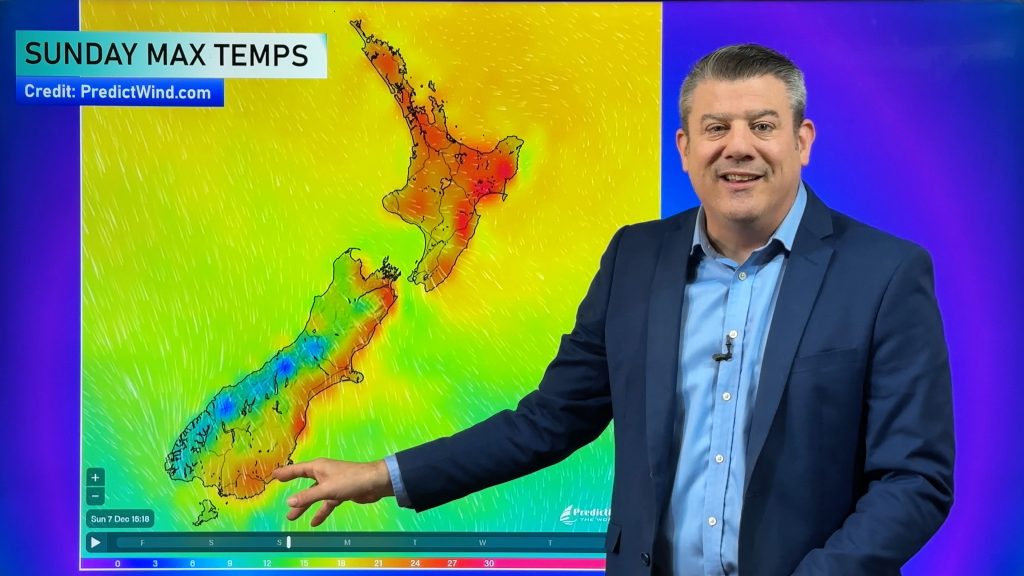
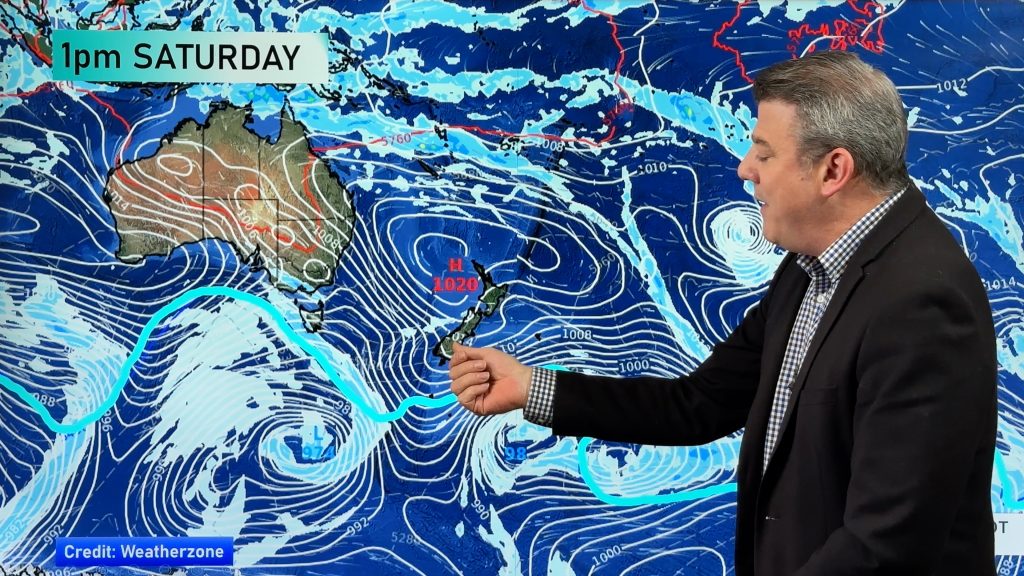
Spring is known for its fast moving weather pattern, but as we head towards the equinox next Friday (traditionally the kick-off for spring’s windiest weather), a low pressure system is likely to develop around northern New Zealand then stall over the North Island for much of next week.
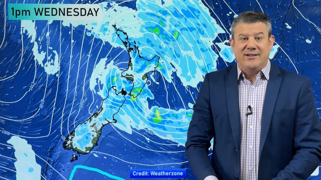
WeatherWatch.co.nz says the low has the potential to hang around from the weekend to Wednesday or Thursday next week.
The computer models continue to chop and change precisely where this low will be placed, but the models we trust are showing it stalling around/over the North Island from this Sunday to about next Wednesday or Thursday.
Whether it happens exactly like this remains to be seen, but as of next week the low will likely be ‘blocked in’ over New Zealand by large high pressure to the south, east and west – so the chances of it ‘hanging around’ are greatly increased says WeatherWatch.co.nz.
The positives:
- This increases the chance of rain in our dry eastern areas, like Hawkes Bay and maybe even as far south as Canterbury. El Nino tends to reduce the chances of this – so any rain in the east is usually seen as a positive.
- Temperatures nationwide will be warmer, especially overnight in the North Island. This is good for lifting soil temperatures and increasing grass growth, especially with a number of regions experiencing below average soil temperatures right now (after a cold end to winter).
- Severe weather looks unlikely at this very early stage from this low. Still one to watch – but right now the latest data shows ‘just some rain and wind’ about.
The negatives:
- More rain for northern and some western areas of the North Island (which have already had more than their fair share of rain)
- Plenty of cloudy across the North Island and upper/eastern parts of the South Island
- Changeable weather forecasts – the nature of this somewhat disorganised and complicated low pressure system means the forecasts will likely chop and change a bit over the next several days, swinging between sun and rain at times – this is due to the centre of the low having calmer/drier weather in the middle and our mountains and ranges affecting the cyclonic wind flow around that centre.
- Rain not reach all dry/drought affected areas in the east of the South Island.
– Image / File, Zelda Wynn
– WeatherWatch.co.nz
Comments
Before you add a new comment, take note this story was published on 15 Sep 2015.


Add new comment
Guest on 15/09/2015 10:29pm
What will the rain and wind be like in Napier Sunday through to next week .. I know itll change but whats it like at the moment ?
Reply
WW Forecast Team on 16/09/2015 1:23am
G’day there
Sunday looks cloudy with patchy rain / drizzle, winds brisk from the southeast. A high of 11 degrees.
Monday is cloudy again, the odd shower about and brisk southerly winds. A high of 12 degrees.
Tuesday is cloudy, the odd light shower or drizzle patch about. Moderate south to southeasterly winds. A high of 13 degrees.
Brisk wind is around 30 to 40 km/h
Moderate wind 20 to 30 km/h
How it is currently looking 🙂
Cheers
Aaron
Reply