100mm of rain for the West Coast, up to 1 metre of snow for the Southern Alps (+2 Maps)
16/07/2019 11:22pm

> From the WeatherWatch archives
New Zealand has another surge of wind, rain and snow for the end of the week and weekend after what looks like a fairly settled and mild Thursday in many places.
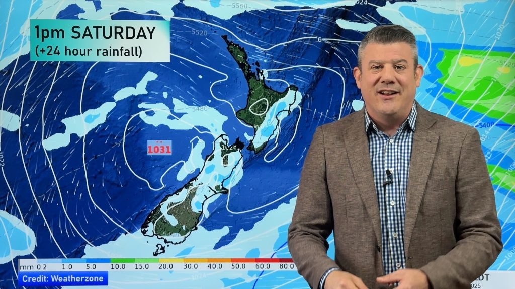
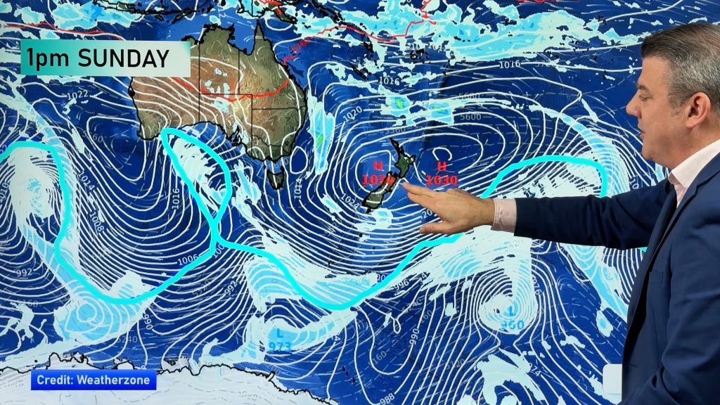
By Friday a low and a cold front both move in with a burst of rain, a few isolated thunderstorms off the Tasman Sea, then a colder change coming in later in the day and into the weekend.
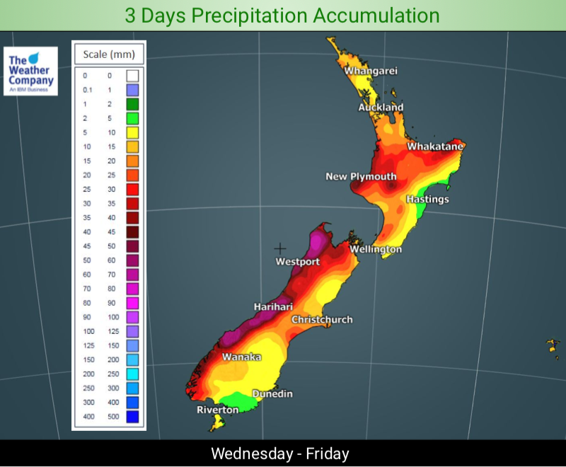
This set up potentially sees up to another 100mm for the West Coast over the rest of the working week.
Meanwhile the low on Friday and the weekend will pull down moisture rich air from the north which will then curve around into the South Island mixing with cold air – turning rain to snow. Heavy snow is expected at higher elevations with the mountain tops likely receiving up to 1 metre of snow between now and Sunday. This increases the avalanche risk after already two weeks of heavy wet snow at higher elevations dumping at least 1 or 2 metres of snow recently.


– WeatherWatch.co.nz
Comments
Before you add a new comment, take note this story was published on 16 Jul 2019.


Add new comment