1 month’s worth of rain for some regions, overnight lows more like summer (+Maps)
27/04/2023 10:26pm

> From the WeatherWatch archives
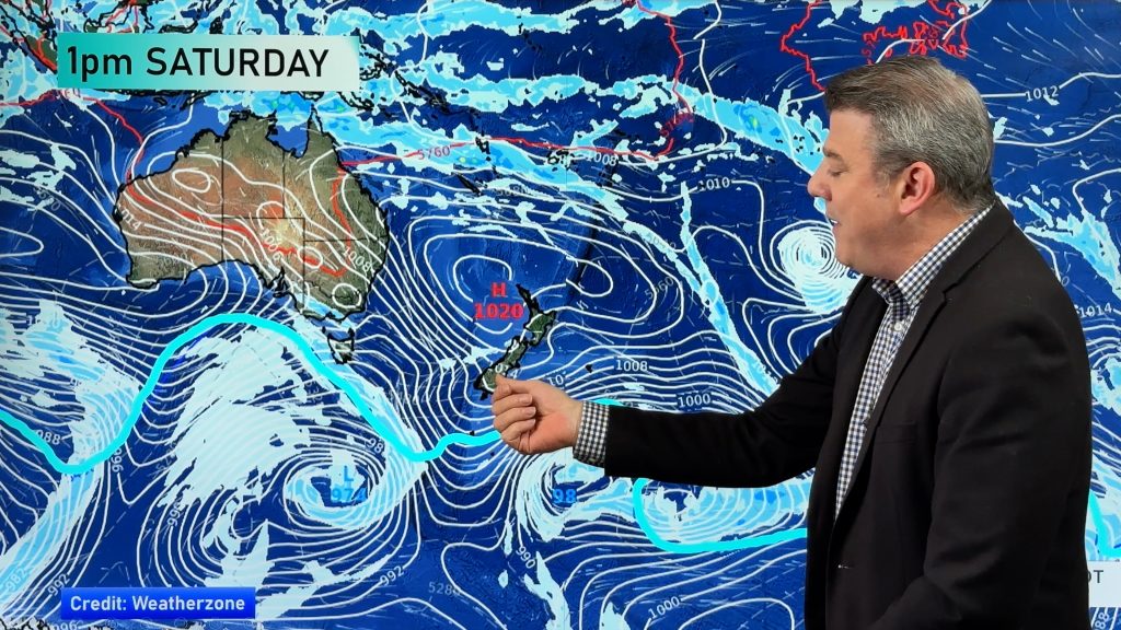
A tropical low and a powerful high will interact to bring several days of wind, rain and above normal temperatures to New Zealand.
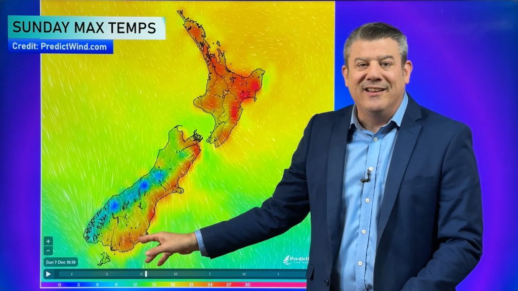
Starting this weekend, east to north east winds will pick up – and spread southwards over the coming week. The airflow is coming from near Tonga and the Cook Islands and means New Zealand’s temperatures will be above normal for the first week of May.
“The overnight lows will be especially mild once again for northern New Zealand” says WeatherWatch.co.nz head forecaster Philip Duncan. “Auckland just recently had a week of overnight lows in the late teens, even around 20C, and once again that looks likely next week with lows between 17 and 19C”.
Overnight temperatures that high are more like what we get in summer.
Daytime highs will also be in the late teens and early to mid-20s across New Zealand next week.
Heavy Rain
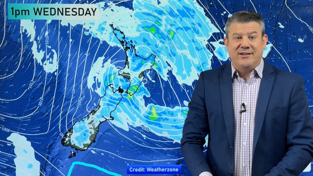
As for rainfall, at least one month’s worth of rain (maybe more) is forecast with 100 to 200mm generally predicted for parts of the top half of the North Island and the western half of the South Island from Sunday to Friday. Areas most exposed to heavy rain look to be eastern Northland, parts of Auckland, Coromandel Peninsula, Bay of Plenty, Takaka/Nelson and the West Coast. Other regions may also be affected. Much of this rain will be spread over a number of days – with a mixture of light drizzly falls and heavier downpours.
Gales
As for damaging wind potential, the initial ‘squash zone’ ENE to NE winds will develop from today and Saturday over the upper North Island and look to peak on Sunday and Monday with gales gusting 70 to 90km/h in the more exposed places. This is enough to cause isolated power cuts and trees/branches down. As we progress through next week these winds are likely to tilt more Northerly (which will see them ease for some) then a more nationwide NW flow looks to kick in next week with a chance for severe gales spreading across both islands for a time.
Thunderstorms
The set-up next week brings high levels of moisture and warmth from the tropics – combined with daytime heating over land this can produce very heavy, slow moving, downpours and thunderstorms that can ‘break’ the rainfall forecasts (ie, exceed them significantly but usually in a very localised way). The main risk for this is from Wednesday to Friday next week. Thunderstorms aren’t usually locked in until 24 hours prior – or sometimes not even until they start to form on the day itself.
Official Warnings
For some reason the NZ Government now has a tax-funded-double-up with Government Agency Niwa competing head on with Government Agency MetService during severe weather events. No other Government or country on earth does this – and then also severely limits this public data from public access. So it’s very important (critical in fact) for NZ’s news media and the public to note that MetService is the ONLY official weather voice from the NZ Government… it is not Niwa.
As NZ’s most popular private forecaster, WeatherWatch is very proud to now work closely with MetService to display all their official public watches and warnings on our websites in REAL TIME – including in your local WeatherWatch and RuralWeather forecasts.
MetService has already started to issue severe weather watches – you can see them all here in this interactive map. Please keep up to date as forecasts will change a little/be fine tuned in the coming days.
Video:
We have full details about the incoming weather in our latest video below. Also, don’t forget to subscribe to our fast growing YouTube channel so you don’t miss any video updates: WeatherWatchTV


- WeatherWatch.co.nz
Comments
Before you add a new comment, take note this story was published on 27 Apr 2023.


Add new comment