> From the WeatherWatch archives
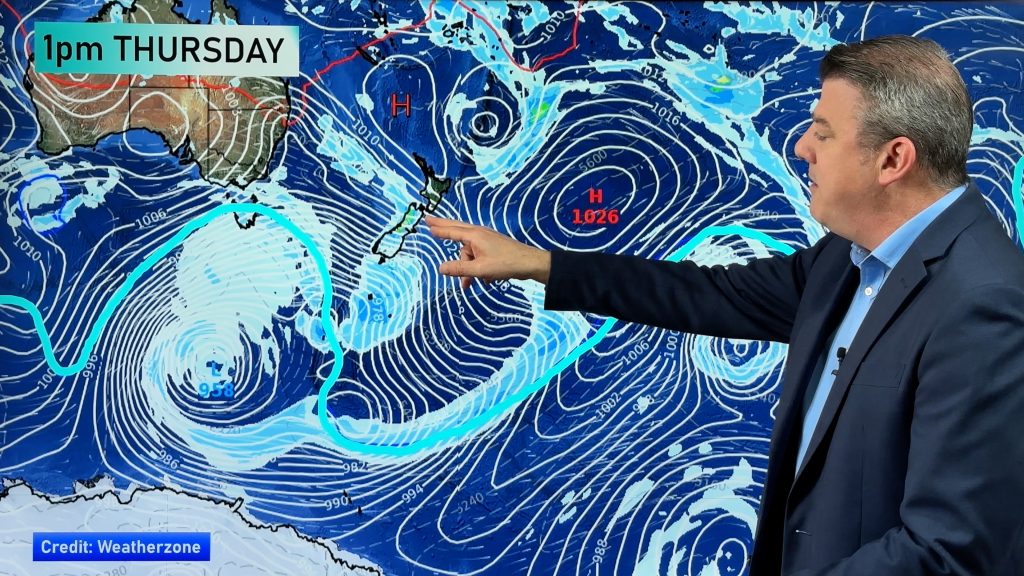
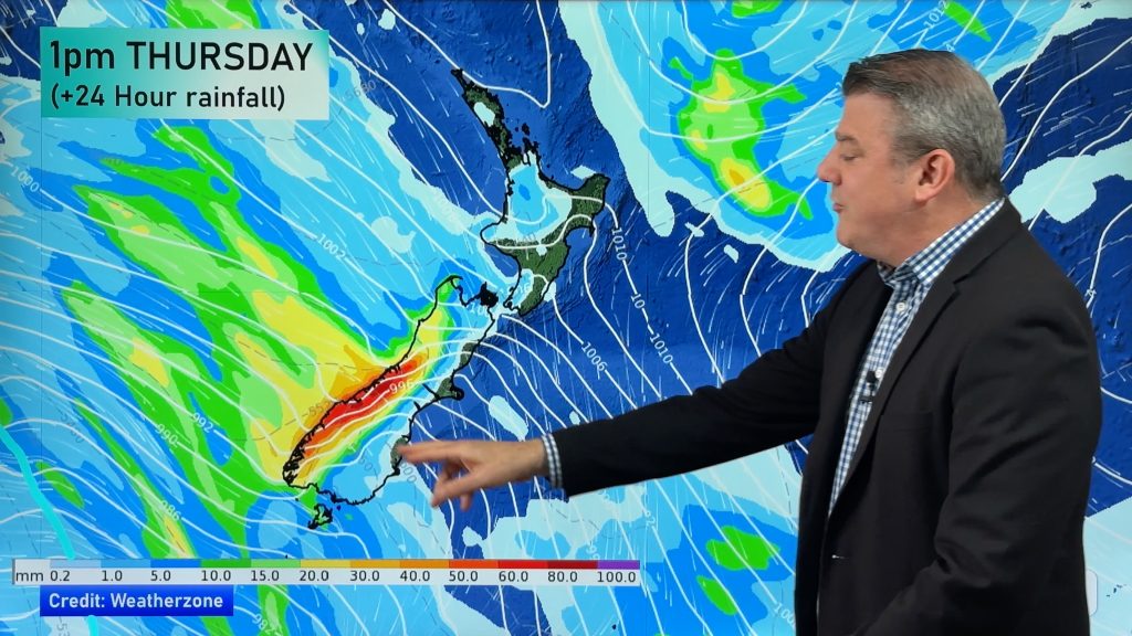
More typical spring weather is on the way this weekend with two lows and two fronts bearing down on the entire country. “Saturday morning should be dry for many places but the weather will start to pack up pretty quickly as those fronts approach” says Head Weather Analyst Philip Duncan. “By afternoon heavy rain will set in across the South Island’s west coast, with showers turning to rain in western and northern areas of the North Island later in the day”.
Duncan says the two fronts will pass over New Zealand on Saturday night preceded by a strong nor’west flow – which he says could reach gale force in the South Island interior and about Wellington. But there is an upside of the strong winds. “The warming effect of the nor’wester means a number of places will make it into the lower and even mid twenties tomorrow, particularly if you live in the far north and the east of both islands”.
But the mix of warm and cold air means thunderstorms are likely again. MetService is expecting the top half of NZ to get some tomorrow afternoon and evening and some may be severe.
But make the most of Saturday morning because Sunday morning will be a different story. Duncan says winds will swing to the south west and will be strong in exposed places. “It’ll almost be a bit wintry – with cold southerlies in Southland and Otago and south west winds bringing heavy squalls to western areas”.
Comments
Before you add a new comment, take note this story was published on 11 Oct 2007.


Add new comment