> From the WeatherWatch archives
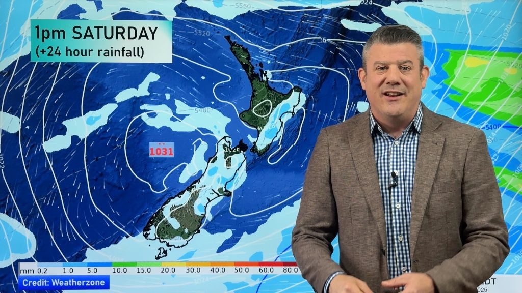
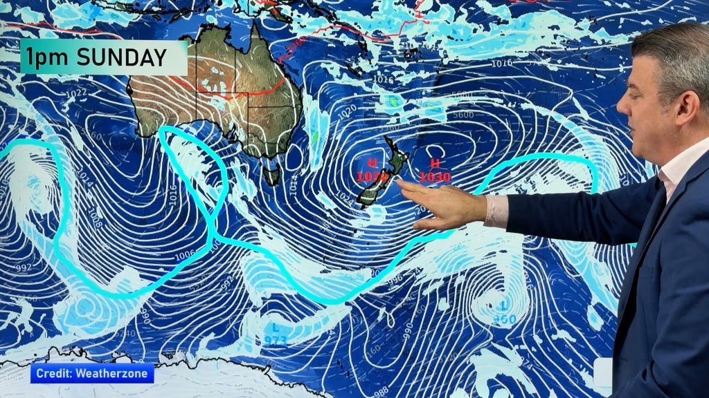
WeatherWatch.co.nz forecasters say Tuesday will easily be the coldest day of 2013 so far as a wintry blast dredges up polar air from near Antarctica and dumps it across both islands of New Zealand.
The cold change is brutal for some, with WeatherWatch.co.nz predicting some isolated parts of the lower South Island may be as cold as minus nine.
Head weather analyst Philip Duncan says this is wintry, but don’t expect winter to set in any time soon. “This is basically a warning shot from Winter – it’s not arriving just yet, instead it’s saying “I’m just around the corner”.
While winter officially arrives in June the weather doesn’t always link up with the change of seasons. Despite our oddly dry start to the year the second half of Autumn has seen the weather pattern fall back into a far more normal one.
“This wintry snap is very cold for May, but it is short lived. In fact as early as Tuesday afternoon the air flow over Southland and Otago will actually change and warm up – it may not be hugely noticeable but the coldest air in this polar blast will be over the North Island then pushing out east of New Zealand by late Tuesday” says Mr Duncan.
In saying that, the polar air left over from the blast will remain through the inland parts of the lower South Island overnight – and it’s possible some isolated areas could drop as low as minus 9.
By Wednesday many main centres will have sunnier, drier, weather – with temperatures slowly lifting during the day – then fully bouncing back on Fridayand Saturday to where they were before this cold snap arrived.
“This weather pattern is very much an Autumn one – the truly wintry weather is still at least a month or so away”.
image / File – Snow in Queenstown, Alison Metherell
– on Twitter @PhilipDuncan
Comments
Before you add a new comment, take note this story was published on 27 May 2013.


Add new comment