> From the WeatherWatch archives
We’ve passed the halfway mark of the month and now the remainder of October looks…well, similar.
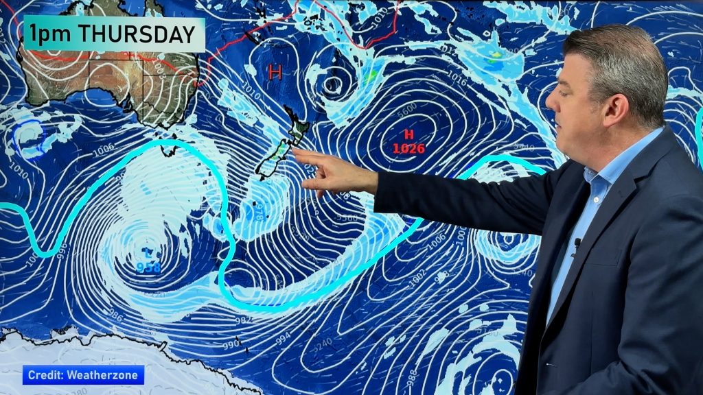
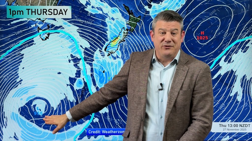
Basically high pressure will park in the Tasman Sea nearer to Australia. As a result of this text-book El Nino set up New Zealand is exposed to many days of windy weather from the westerly quarter.
In particular west to south west winds look strong over the South Island and lower North Island, this is due to the storms in the Southern Ocean squeezing up against the high air pressure in the Tasman Sea – it places the lower North Island and eastern/inland parts of the South Island directly in the ‘squash zone’ of pressure. It also means northern NZ will have fewer windy days – but that may also mean more gloomy conditions in the west, like Auckland and Hamilton.
So in a nut shell, the rest of October will see:
- More cloud in the west coast of the North Island
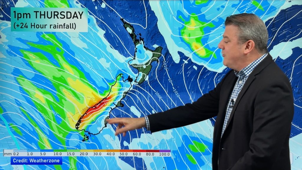
- More rain for the West Coast (South Island)
- Hottest weather in the NE and E of both islands
- Some brief rain for dry eastern parts of the South Island (due to a couple showery southerlies)
- Coolest weather in Southland and the West Coast
- Driest weather in the North Island’s east coast and northern half.
It’s a forecast that, to be honest, could be much worse – ie, much drier and hotter for the east, and much stormier for central and western areas. But the rest of October isn’t looking overly severe weather-wise. Wind is the main feature still… and while the east of the South Island starts to show real signs now of an early dry, it’s also a big positive to see some rain in the forecast for Otago and Canterbury within the next two weeks.
Strong winds are the main feature of this weekend – big gusts in the east and central parts of the country today and tomorrow with damaging gales possible on Sunday with winds climbing over 130km/h at times. Next week another surge of gales (with warnings) are possible – and so too is some heavy rain on the West Coast for a time. For mid-spring this is about normal.
– WeatherWatch.co.nz
Comments
Before you add a new comment, take note this story was published on 16 Oct 2015.


Add new comment