What NZ’s earthquake fault lines and our weather have in common
3/01/2023 10:00pm

> From the WeatherWatch archives
From our Education Page — There is a strong connection between the weather and major fault lines, but it may not be what you think.
New Zealand’s most extreme weather often coincides with our most dramatic fault lines. Put simply, if New Zealand didn’t have big mountains and ranges our weather would be far more boring and far more repetitive.
Fault lines trigger earthquakes. Earthquakes can lift the ground. Eventually forming our mountains and ranges, along with the two major tectonic plates. Without these underground forces our weather above would be much more different.
Just like we have fault lines underground, “fault lines” also appear in the sky above these main geographical zones – borders where heavy rain and damaging winds and heavy snow events often begin, or end.
You just have to look at the Chatham Islands to get a glance as to what NZ would be like weatherwise without the mountains and ranges we have. We’d be windier, cloudier, showery and peak temperatures would be flatter. Fewer hot sunny days, more cloudy and windy ones. We’d really feel that “roaring forties” set up of frequent west to south west winds even more than we do already.
The Southern Alps creates the most dramatic weather differences in NZ and gives our various regions their huge climatic differences. They even protect the North Island from certain events.
One clear example: The West Coast is very wet as the Southern Alps block rain clouds. Fiordland is one of the wettest places on earth. Just 100km away in Otago you have the driest place in NZ. The weather is affected hugely in this area due to the mountains and ranges blocking rain clouds. If we were flat, the rainfall would be spread evenly from Fiordland to Otago.
There are local scale versions too. Those around Manawatu and Wairarapa see the effect the ranges have on the weather – and how the gap in the Manawatu Gorge can create local variations. Same around Mt Taranaki where the mountain dramatically enhances rainfall figures.
Further north, the Kaimai Ranges between Waikato and Bay of Plenty create two different worlds. Waikato can be bitterly cold in winter, big frosts then a howling damaging easterly wind coming off the hills. Meanwhile Bay of Plenty may be cloud free for a week with little wind – or a week of heavy rain and floods while it’s dry just over the hills in Waikato.
New Zealand’s best weather – and worst weather – is often generated by the work our fault lines have made underground. The taller the mountains, the more impact it has on the weather in the skies above and on the ground below.
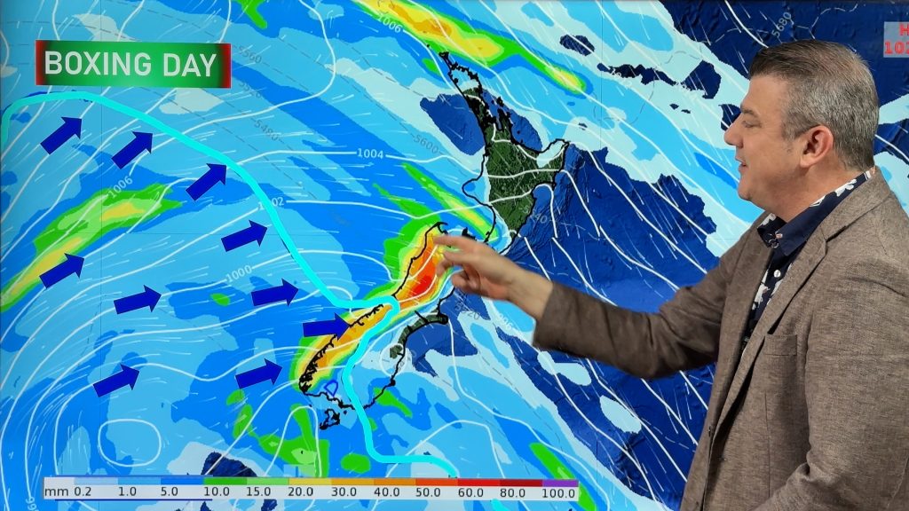
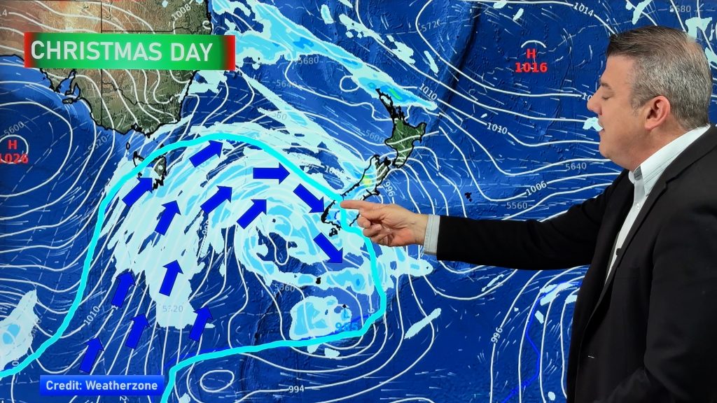
- Image / Map of NZ showing the main ‘fault lines’ in the sky which produce the biggest differences with our daily weather.
- Written by WeatherWatch.co.nz head forecaster Philip Duncan.
Comments
Before you add a new comment, take note this story was published on 3 Jan 2023.


Add new comment
Jesse on 20/10/2023 8:00pm
Please update latest foreknowledge, and thank You for this foreknowledge of Our besutiful home Aotearoa
Reply
Jay on 4/01/2023 3:24am
Thanks, that’s a really great explanation. Kids should learn about this stuff at school 👍
Reply
WW Forecast Team on 4/01/2023 4:09am
Thanks Jay. A lot of this information was taught in public schools in NZ in the 1980s and 1990s. Not sure if the basics are still taught – I really hope so, at both primary level and high school level!
– Phil D
Reply
Bernard O'Neill on 3/01/2023 10:46pm
Brilliantly allegory describing effect of geomorphology on weather systems in NZ. Enjoy your informative meteorology.
Reply