Weekend Newsfeed: High pressure controls NZ, westerlies look to return next week (+2 Maps)
19/10/2024 8:00am

> From the WeatherWatch archives
High pressure continues to lie east of NZ and will remain there across the weekend, creating a north to north-easterly flow over parts of the country. This means afternoon downpours for some, otherwise mostly dry.
WEEKEND AHEAD & NEXT WEEK
This weekend high pressure is parked over the Chatham Islands and this keeps a general north-east flow over the country and both days have isolated afternoon downpour risks inland for both main islands.
On Monday a weak cold font brushes Southland and Otago but brings little wet weather – and the rest of NZ is dry.
By Tuesday a few showers move up the West Coast but most other places are dry and settled.
Wednesday next week also looks dry and settled with high pressure now centred over Northland and this more northern placement brings back the windy westerlies of spring for the South Island and very lower North Island.
Westerlies and sub-tropical winds are likely next Thursday with some West Coast rain.

As always drill down deeper with your hyper-local, hourly, FREE 10 day forecasts from WeatherWatch.co.nz – or download the FREE WeatherWatch App. Have a good weekend!
Comments
Before you add a new comment, take note this story was published on 19 Oct 2024.
Latest Video
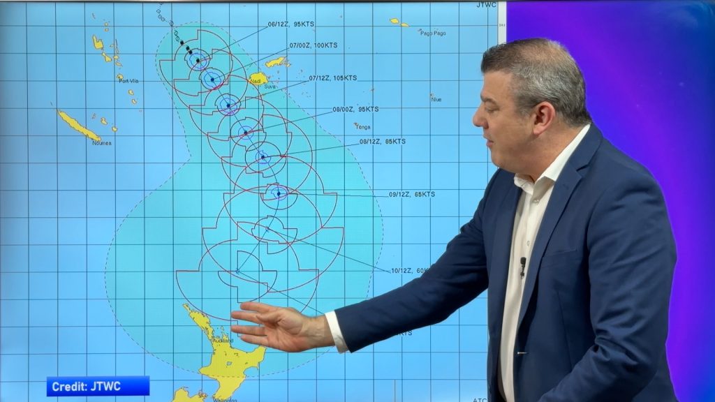
Tropical Cyclone VAIANU: Fiji then NZ
*Published Tuesday AM* Fiji is being affected today by offshore Severe Tropical Cyclone Vaianu and NZ has the chance of…
Related Articles
Tropical Cyclone VAIANU: Fiji then NZ
*Published Tuesday AM* Fiji is being affected today by offshore Severe Tropical Cyclone Vaianu and NZ has the chance of…
NZ: Bit of an unsettled week, but a tropical cyclone this weekend
Wind and rain affects a number of regions as we kick off this week as strong high pressure departs to…

NZ Easter Weather Update + monitoring the tropics for storm potential
High pressure smothers New Zealand as we head into the long weekend bringing mostly dry weather and light winds, with…


Add new comment