Wednesday’s Newsfeed: Look at that, the week’s halfway over already!
6/02/2024 4:00pm

> From the WeatherWatch archives
Not a lot of change in the forecast today but another temperature drop for Southland (sorry!) and coastal Otago as airflows from off the Southern Ocean move in.
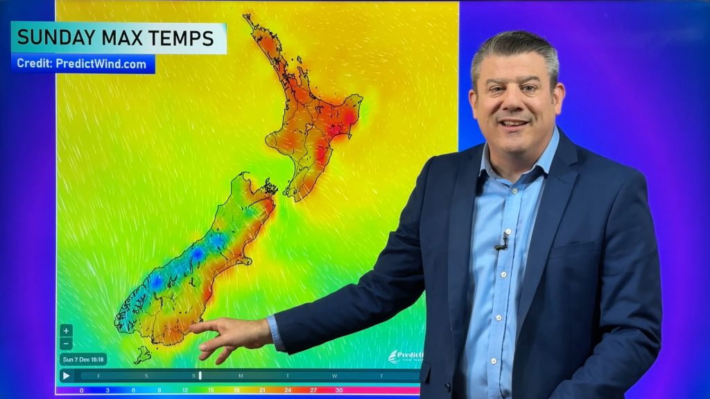
The heat continues again for much of the North Island (especially eastern, northern and inland areas as we saw on Waitangi Day) but cloudier weather in the South Island may lower temperatures a few to several degrees. Yesterday some areas were in the upper 30s – today mid to upper 20s may be more likely in those same areas, although over 30 is still possible, perhaps most likely Marlborough.
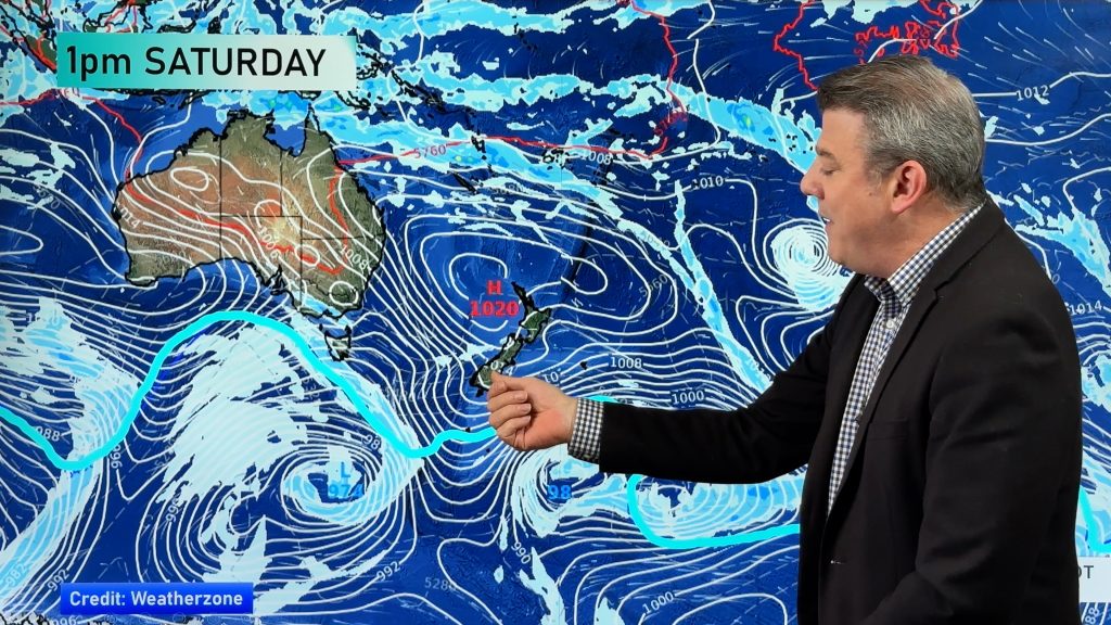
High pressure isn’t quite covering all the country – we said last week it’s like the high pressure belt from south of Australia (and also east of NZ) is a single duvet for a queen size bed, which is why we’re seeing some cloud and lower temps around the edges.
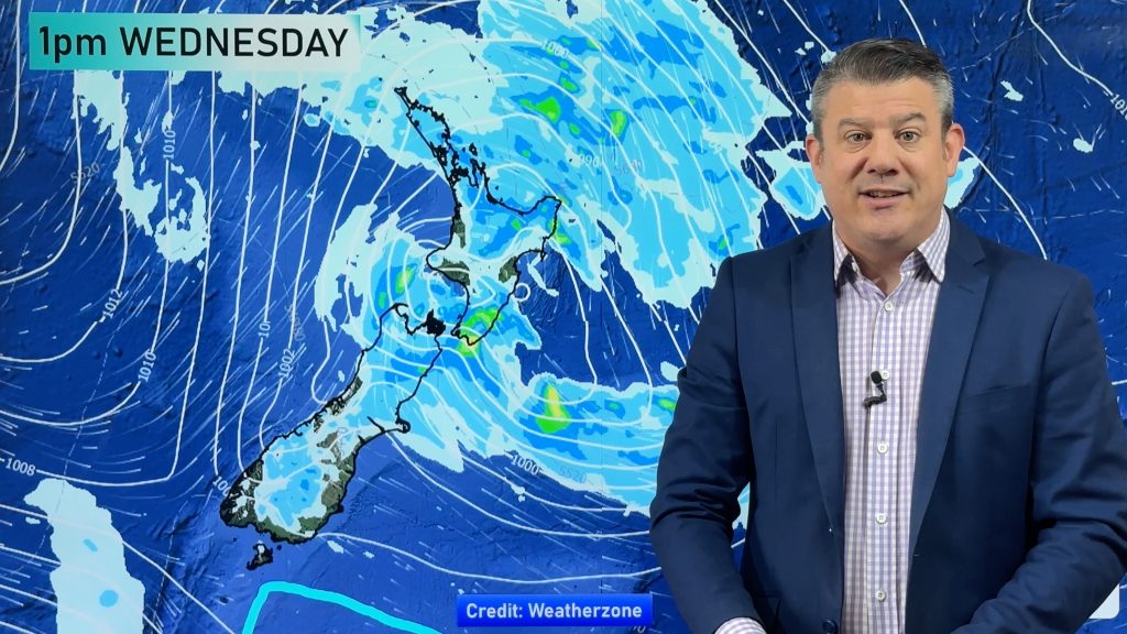
Wet weather today are most likely in Southland, Fiordland and south Westland.
Weather Maps most relevant today are…
- Please DOWNLOAD our new FREE App.
- Upgrade to the PRO Alerting version – Details here. YOU set the criteria for your own push alert notifications (at multiple locations if need be) – perfect for farming, horticulture, tradies, gardening – and those that just love the weather and want fewer nasty surprises!
- Last Saturday Auckland had damaging gales all day with no warnings from official Government forecasters – yet our wind alerts were pushed out automatically 4 days prior with high accuracy.
- Thank you to everyone who has downloaded our new app (especially the PRO version!) – you’re backing a small Kiwi business surviving against two tax funded commercial Government forecasters.


WeatherWatch.co.nz
Comments
Before you add a new comment, take note this story was published on 6 Feb 2024.


Add new comment