> From the WeatherWatch archives
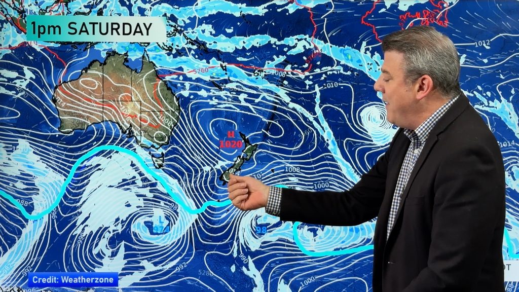
A southwesterly airflow lies over New Zealand today as an areas of low pressure sits out to the east and a high is centred over southern Australia stretching into the Tasman Sea.
Northland, Auckland, Waikato & Bay Of Plenty
A mix of sun and cloud. Risk of a shower, mainly late afternoon / evening in the west about Northland and Auckland. Southwesterly winds.
Highs: 15-16
Western North Island (including Central North Island)
Mostly cloudy nearer the ranges, looking to be mainly dry although the odd shower is possible at times. Closer towards the coast expect a mix of sun and cloud. Southwesterlies freshen in the afternoon.
Highs: 10-15
Eastern North Island
Sunny spells, cloud increasing from afternoon as southwesterly winds freshen. A few showers from evening.
Highs: 14-15
Wellington
Mostly cloudy with southerly winds freshening later this morning, risk of the odd shower.
High: 12
Marlborough & Nelson
Mainly sunny with light winds.
High: 14
Canterbury
Morning cloud breaks to mostly sunny weather near the coast, mainly sunny inland after a frosty start. Light southwesterly winds.
Highs: 11-13
West Coast
A mainly sunny day with light southwesterly winds.
Highs: 11-13
Southland & Otago
A mainly cloudy day about Southland with west to southwest winds, chance of a shower in the morning. Otago is mainly sunny, some cloud from afternoon brings the chance of a shower as light winds tend southwest.
Highs: 9-12
By Weather Analyst Aaron Wilkinson – WeatherWatch.co.nz
Comments
Before you add a new comment, take note this story was published on 6 Jun 2017.


Add new comment