> From the WeatherWatch archives
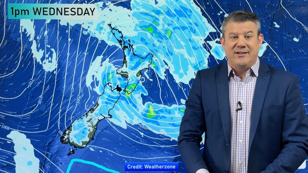
A low moves towards the west of the North Island today then pushes eastwards overnight. Northerlies for most of the North Island, a southeasterly airflow for the South Island and about Wellington / Wairarapa. Areas of heavy rain and strong winds affect much of the North Island and upper South Island during the day.
The rain clouds are broken up, so the heaviest falls are a bit hit and miss.
Northland, Auckland, Waikato & Bay Of Plenty
Early rain clears before dawn in Auckland and Waikato then mainly dry, but rain returns later today with heavy falls. Elsewhere areas of rain with some dry spells developong today, but later heavy falls at times with possible thunderstorms (perhaps even the low risk of an isolated small tornado) then clearing late evening or overnight as gusty northerlies tend northwest.
Highs: 22-24
Western North Island (including Central North Island)
Rain with heavy falls, easing from around midday to showers as strong southeasterly winds tend northeast. Taranaki sees heavy falls for much of the day, thunderstorms possible from afternoon, perhaps even the chance of a small isolated tornado. Heavy rain / any thunderstorms not easing about Taranaki till later in the evening.
Highs: 20-22
Eastern North Island
Rain with heavy falls then easing in the morning about Gisborne to showers, by midday about Hawkes Bay and by mid afternoon about the Wairarapa. As rain eases to showers expect gusty easterly winds to tend northeast.
Highs: 20-25
Wellington
Rain with heavy falls possible. Gusty southeasterly winds tend southerly later in the day. Winds about the coast / through Cook Strait will likely gust to gale at times.
High: 16
Marlborough & Nelson
Rain with heavy falls, easing overnight. Brisk east to southeasterly winds. Gales likely, perhaps even severe gale about northern Tasman and the Marlborough Sounds.
Highs: 15-16
Canterbury
Areas of rain or drizzle, rain may be heavy about North Canterbury. Fresh easterlies change southwest overnight.
High: 8-12
West Coast
Areas of rain about Buller spread into North Westland at times. Plenty of high cloud otherwise. South to southeasterly winds, becoming gusty from afternoon about North Westland.
High: 15
Southland & Otago
Mostly sunny in the morning about Southland then cloud thickens from afternoon. Central Otago sees a few morning sunny spells then becoming mostly cloudy after midday then expect evening drizzle. Cloudy about coastal Otago with the odd drizzle patch, late evening rain. Easterly winds freshen.
Highs: 13-15
By Weather Analyst Aaron Wilkinson – WeatherWatch.co.nz
Comments
Before you add a new comment, take note this story was published on 4 Apr 2017.


Add new comment