> From the WeatherWatch archives
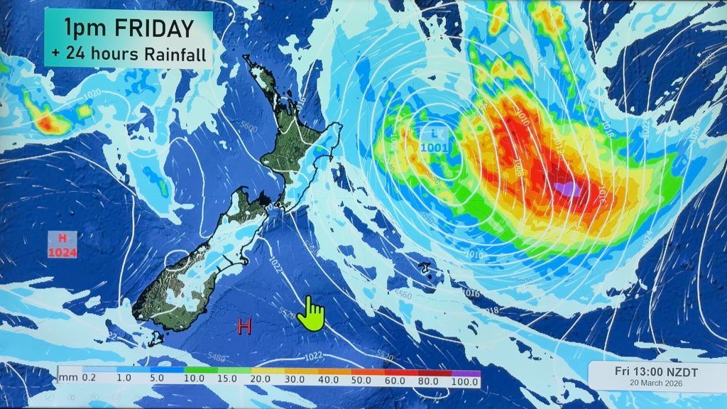
A westerly air stream brings showers for western regions, heavy about the western North Island with thunderstorms possible. Drier in the east for most.
Northland, Auckland, Waikato & Bay Of Plenty
Showers, some heavy and squally especially afternoon and evening with possible thunderstorms. Northwesterly winds change gusty westerly later in the day.
Highs: 16-18
Western North Island (including Central North Island)
Showers, heavy falls now and then with possible thunderstorms. Gusty west to northwesterly winds strong about coastal areas and Taranaki.
Highs: 13-16
Eastern North Island
Sunny areas and some high cloud, the odd spot of rain may spread from the west at times otherwise mainly dry. Gusty northwesterly winds.
Highs: 18-20
Wellington
Showers, some may be occasionally heavy then clearing evening. Gusty northwesterly winds.
High: 15
Marlborough & Nelson
Morning cloud then becoming mostly sunny in the afternoon, gusty northwesterly winds ease. Nelson sees a few morning showers then mostly sunny from afternoon, southwesterly winds.
High: 15-16
Canterbury
A few morning showers clear then becoming mostly sunny in the afternoon, light winds.
High: 13
West Coast
Showers, some rain for Buller eases in the afternoon.
West to southwesterly winds.
Highs: 11-13
Southland & Otago
Some morning sun then showers move in during the afternoon as northerlies change westerly. Coastal Otago is mostly sunny, high cloud thickens evening with a few spots of rain.
Highs: 9-11
By Weather Analyst Aaron Wilkinson – WeatherWatch.co.nz
Comments
Before you add a new comment, take note this story was published on 24 May 2016.


Add new comment