Wednesday Newsfeed: NW winds pick up, West Coast rain moves in
6/08/2024 4:00pm

> From the WeatherWatch archives
RAIN
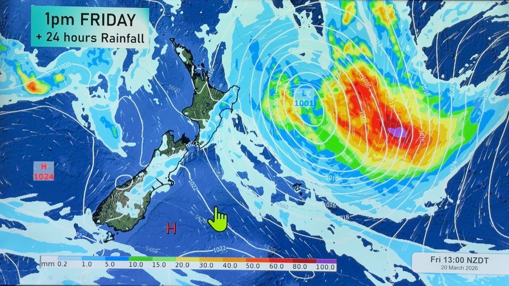
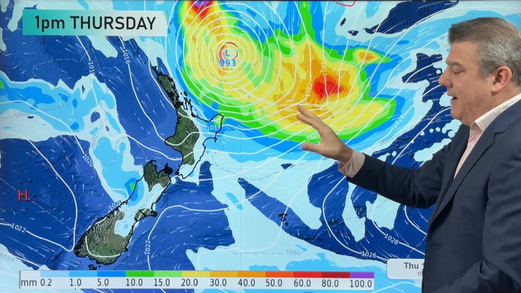
Rain sets in for the southern half of the West Coast today. Most other regions across New Zealand are dry for today, but it’s possible there may be some isolated showers here and there around the North Island – otherwise dry. But a low pressure zone is forming in the Tasman Sea and, even though it’s quite weak, it will cross over the North Island later this week and weekend bringing some rain and showers.
WIND:
As the front comes into the West Coast windier westerlies and nor’westers push through. Northerlies will be strong through Wellington today and tomorrow, before turning even stronger southerly on Friday. For many other regions winds won’t be a major problem but those in the east will be most exposed to the nor’west flow around Wednesday and Thursday.
TEMPERATURES
Temperatures are on the rise today and tonight thanks to this west to north-west airflow. Frost risks ease for many places overnight tonight/Thursday morning – but frosty weather may grow again over the South Island later this week as winds become lighter and high pressure returns.
As always drill down deeper with your hyper-local hourly, 10 day forecast at WeatherWatch.co.nz or download our app.


Comments
Before you add a new comment, take note this story was published on 6 Aug 2024.
Latest Video

A tropical low next week *might* affect NZ
It’s not locked in yet, but a tropical storm may end up drifting southwards towards NZ about one week from…
Related Articles
A tropical low next week *might* affect NZ
It’s not locked in yet, but a tropical storm may end up drifting southwards towards NZ about one week from…
NZ 9 Day: Two subtropical lows, but a lot of dry weather
In our extended outlook today we track two subtropical storms, one that will likely miss most of NZ while the…
Subtropical low (yes, another one) to brush the NI, high pressure still in charge
A subtropical low will power up over the next 24 hours and brush past the north-eastern corner of the North…


Add new comment