Wednesday Newsfeed: NE blustery, hot temps, finally cooler on Monday
9/01/2024 4:00pm

> From the WeatherWatch archives
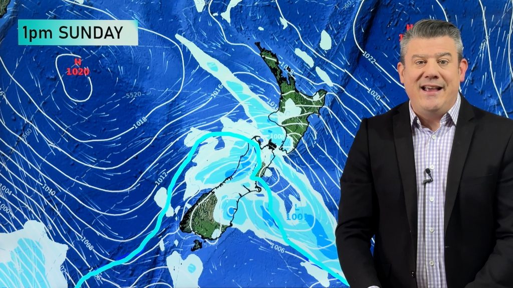
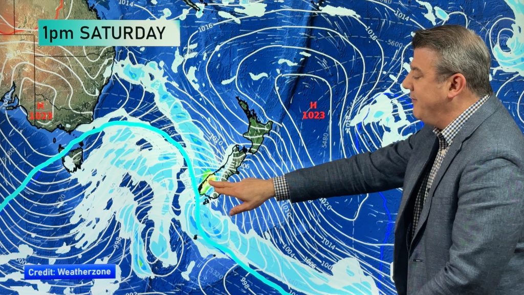
A high pressure zone starts moving away out to the east today meanwhile a low drops down to the southeast south of the country, between these two there is a squash zone of sorts meaning the eastern South Island is going to experience blustery east to northeasterly winds. Strong winds are likely at times.
It will still be hot for the interior of the South Island with lighter winds from the north or northwest, the western and upper North Island takes the cake though with hot temperatures in the late twenties (perhaps hitting 30 for some inland spots) and mainly sunny conditions expected. Fiordland is the coolest spot with highs in the late teens and showers or rain.
The heat cranks up on Thursday for eastern regions of both Islands thanks to a northwest airflow, highs hitting 30 are likely, mid 30’s is even possible. A touch cooler but still very warm on Friday, heat returns on Saturday with highs hitting 30 again in the east. Later on Sunday then into Monday finally some relief as front moves over and southerly quarter winds follow, some welcome rain will move in around the same time.
Maps most relevant today are…
- Live Rain Radar
- Animated Temperature Maps
- RuralWeather: Localised Cloud, UV & Temperature Data & Graphs
See your local hourly & 10 day forecast at WeatherWatch.co.nz – or for more details and event planning visit RuralWeather.co.nz for the most detailed and hyper-local forecasts in NZ.


WeatherWatch.co.nz – Daily Newsfeed
Comments
Before you add a new comment, take note this story was published on 9 Jan 2024.


Add new comment
janet on 9/01/2024 8:54pm
looking forward to seeing you back.happy new year to you all .
Reply
WW Forecast Team on 9/01/2024 10:53pm
HNY Janet, here’s to a great year ahead for you. 🙂
Cheers
– WW Team
Reply