Wednesday Newsfeed: Low lingers off eastern North Island bringing more rain to east
21/05/2024 8:56pm

> From the WeatherWatch archives
Low pressure remains off the eastern North Island and coupled with high pressure further south the two are producing a south-east flow into the North Island and upper South Island.
Rain continues along the eastern North Island, in particular the Hawke’s Bay region. See latest MetService warnings and watches here. Patchy lighter rain, drizzle showers will extend further down the eastern side of the South Island for Wednesday too, potentially as far south as Dunedin.
Wet weather narrows on Thursday but again the Hawke’s Bay area is still in that squash zone between low pressure and high pressure, meaning the rain and SE winds continue there with heavy falls possible in the ranges. Slips, localised flooding and some road closures are possible over Wednesday and Thursday.
But this set-up makes for drier weather in western parts of the NI and for many SI regions.

- WeatherWatch.co.nz
Comments
Before you add a new comment, take note this story was published on 21 May 2024.
Latest Video
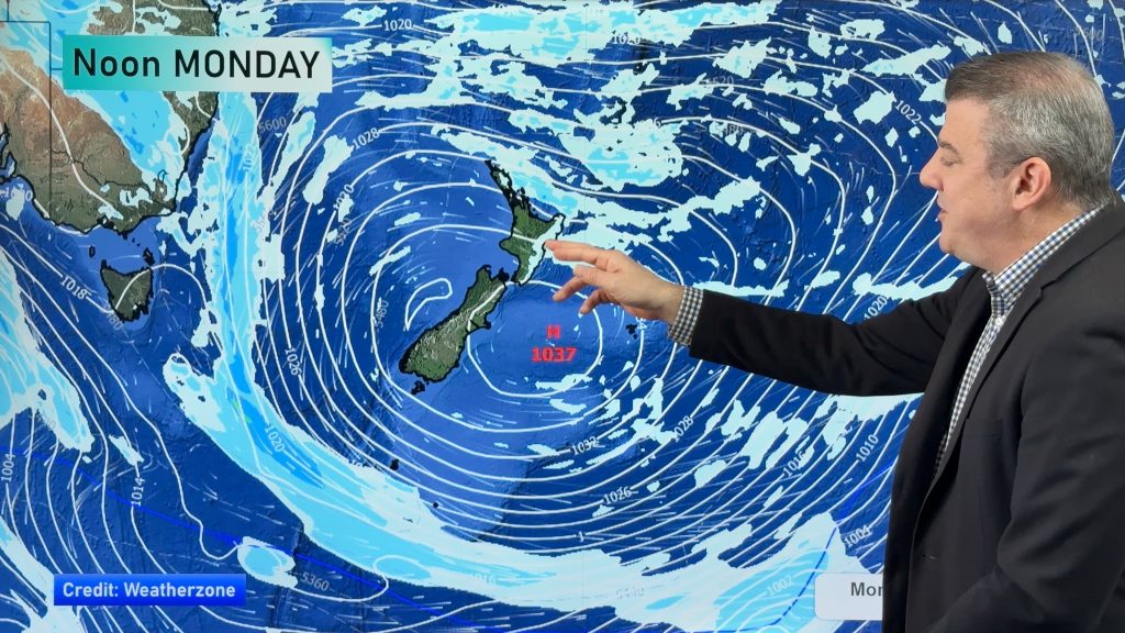
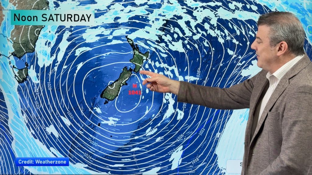
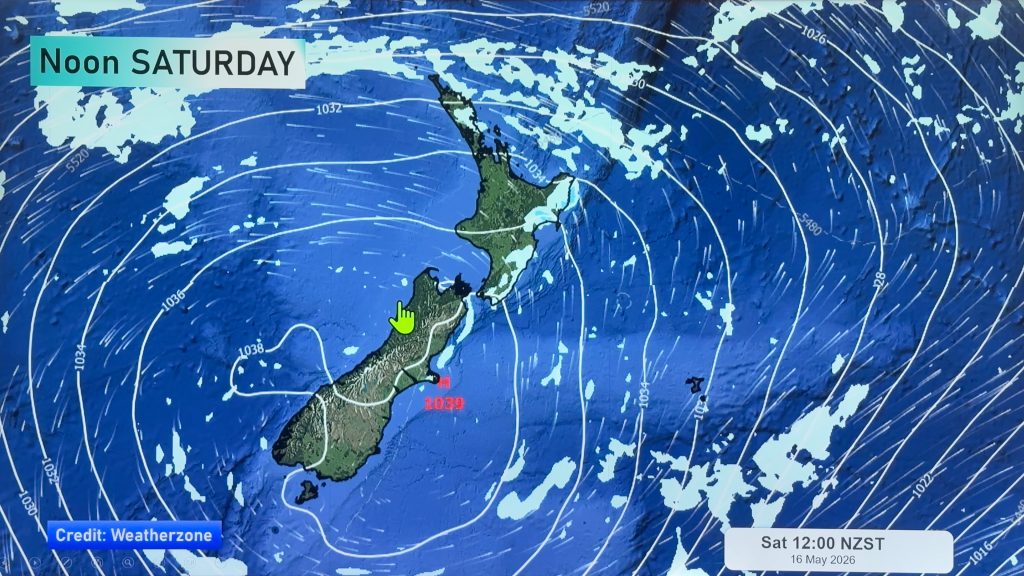
NZ 8 day outlook as high pressure moves through
High pressure will cross the South Island this weekend bringing light winds, cold nights, frosts and fog, while the North…
Related Articles
NZ 8 day outlook as high pressure moves through
High pressure will cross the South Island this weekend bringing light winds, cold nights, frosts and fog, while the North…
Eastern cloud/showers for the NI, high pressure expands elsewhere
A colder south to south-east flow will keep clouds and showers moving into some eastern parts of the North Island…
High pressure growing slowly, eastern showers for NI
A colder airflow is spreading across all of NZ now and will continue on as high pressure slowly moves towards…


Add new comment