Wed & Thu MAX temps in the east 25° to 30° degs, ahead of large weekend low (+5 Maps)
22/10/2024 4:00am

> From the WeatherWatch archives
High pressure is parked over the Far North on Wednesday with windier and warmer west to north-west winds, (with sub-tropical connections from Canterbury northwards) making it hotter in the east in both main islands, as rain sets in for the West Coast.
Please keep up to date with MetService warnings and watches over the days ahead.
Let’s get into the forecast for WEDNESDAY to begin with…
RAIN:
Patchy rain and showers move up the West Coast, mainly south of Greymouth. Dry elsewhere but a few light showers may develop in the western North Island later.
WIND:
West to north west winds pick up on Wednesday. Strongest in the lower South Island, especially inland nearer to the mountains and ranges, and also about Cook Strait. Lighter winds from Auckland northwards although a westerly breeze kicks in there too.
TEMPERATURES:
Wednesday is a warm to hot day, especially in the east where Canterbury and Marlborough may have maximum temperatures between 25 and nearly 30 degrees.
WEEK AHEAD & LABOUR WEEKEND
On Thursday that West Coast rain continues and becomes heavy in south Westland and Fiordland. Some wet weather spills over into Southland and western Otago. Strong to severe gale west to north-west winds blow through the upper South Island and lower North Island. Dry or mainly dry in most other regions. Another hot day in the east, especially places like Hawke’s Bay which may reach the mid to upper 20s.
As we head into Friday conditions may ease back for a time – both wind and rain, although nor’westers might still be strong from East Cape to Wairarapa, but not too major. Still hot for some in the North Island’s east but a colder change arrives in Southland.
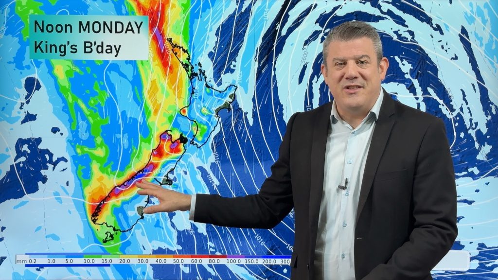
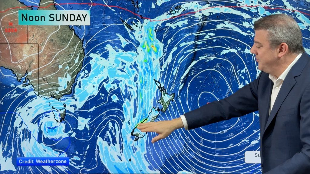
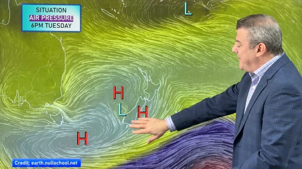
This Labour Weekend a large low pressure zone will develop and brings some severe weather risks to the nation on Saturday in particular. The low is tricky to lock in due to it likely having more than one centre and this makes it harder to be precise about where exactly severe weather will be. But heavy South Island rain and a burst of gales in both islands are possible on Saturday.
This is still not locked in – and not all regions will have severe weather. We will more precision about the weekend weather in our video update out around lunchtime Wednesday.


- As always drill down deeper with your hyper-local, hourly, FREE 10 day forecasts from WeatherWatch.co.nz – or download the FREE WeatherWatch App.
Latest Video
Heavy rain & gusty winds for parts of NZ this long weekend
The long weekend starts off mostly settled and dry, then subtropical north to north-west winds kick in with heavy West…
Related Articles
Heavy rain & gusty winds for parts of NZ this long weekend
The long weekend starts off mostly settled and dry, then subtropical north to north-west winds kick in with heavy West…
Latest on the long weekend weather
We still have another large high pressure zone to move over the nation, but subtropical northerlies will pick up this…
Subtropical northerlies and some wet weather chances going into the long weekend
More high pressure is moving over NZ this week but this week it slides east of us, creating subtropical northerlies…

