Weather Video: Southerly tracking in
6/08/2014 2:14am

> From the WeatherWatch archives
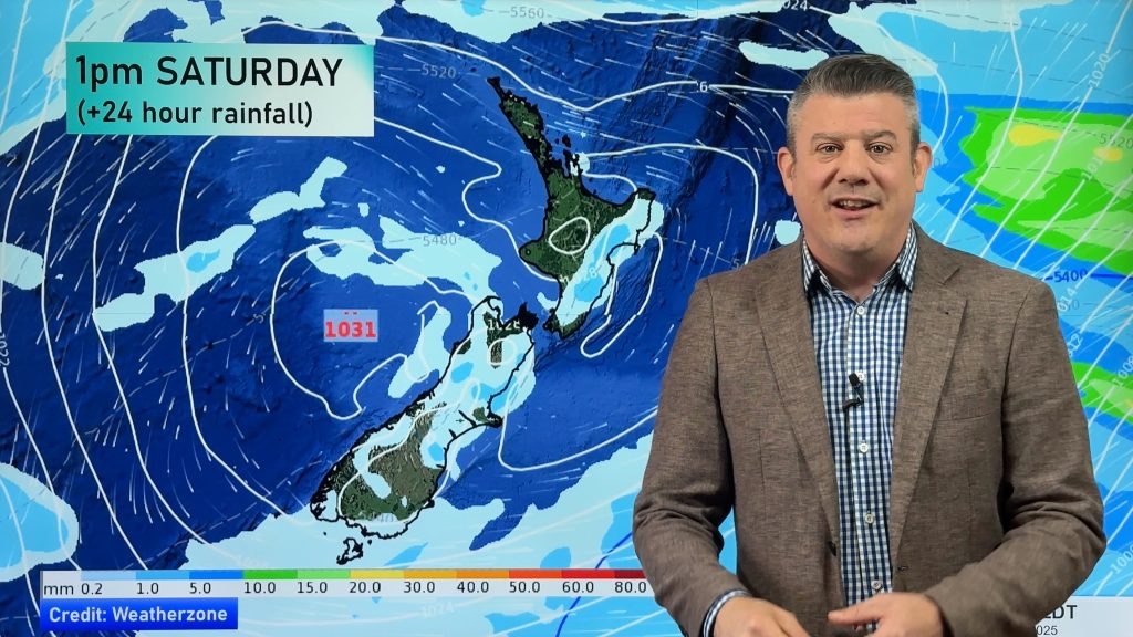
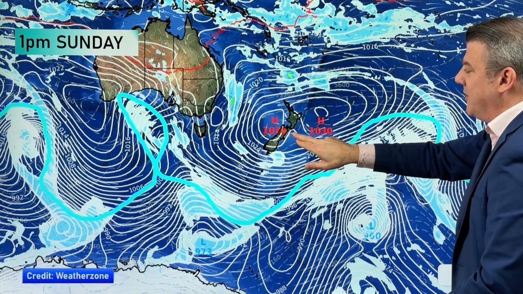
A cold front is coming towards the South Island, due to make landfall late Wednesday.
It will be followed by a warmer system which will push temperatures up a bit on the weekend, although North Island ski fields should be in for a flurry on Friday and into Saturday.
Things will warm up for the South Island on Sunday however, so you can put the winter woolies away for another week.
Comments
Before you add a new comment, take note this story was published on 6 Aug 2014.


Add new comment
Blake on 6/08/2014 7:17am
Any estimate what snow depths could be to around 200 metres in Eastern Southland WW? not what we need at this time of year with calving just starting to get busy!!
Reply
WW Forecast Team on 6/08/2014 1:07pm
Hi there
Could be looking at 10 to 15cm for you down to 200m. Late Thursday and through Friday.
WW
Reply