Weather Video: Snow surprises Southerners as sub-tropical low looms for Northerners
7/11/2017 10:10pm

> From the WeatherWatch archives
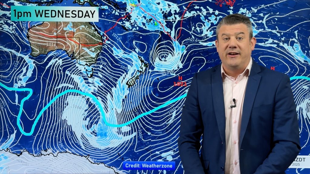
After very warm days last week the lower half of the South Island is today blanketed in snow above a few hundred metres. The heavy snow, which was a metre deep in the Southern Alps in places, is easing already.
Thursday will see a milder day in the South Island before another cooler change on Friday brings showers (and some lighter snow flurries to the mountains).
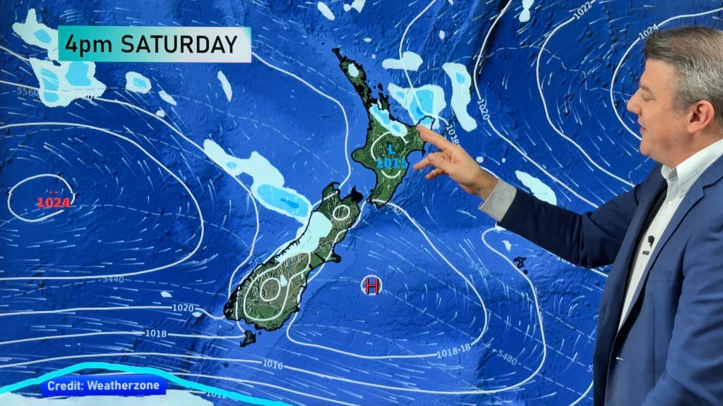
This cooler change gets swept into the North Island on Saturday at the same time a large sub-tropical low will be dropping south.
There is a very fine line between completely dry and heavy rain – our thinking remains that the bulk of the wet weather will be out at sea but it definitely remains one to watch.
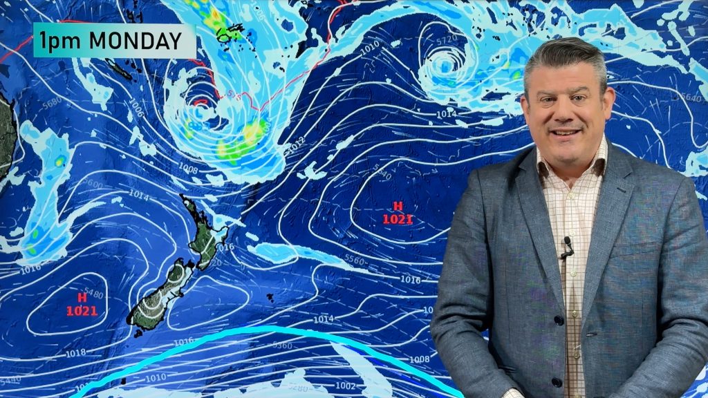
Southerlies and high pressure build around New Zealand this coming Sunday and Monday.
Comments
Before you add a new comment, take note this story was published on 7 Nov 2017.


Add new comment