> From the WeatherWatch archives
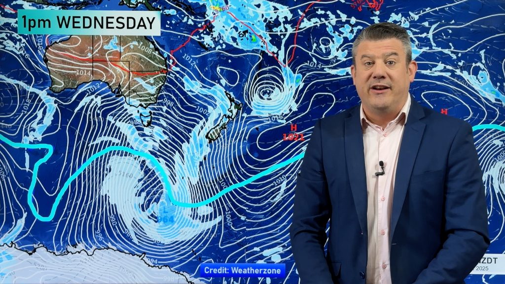
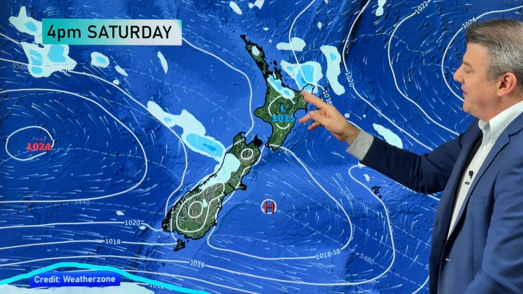
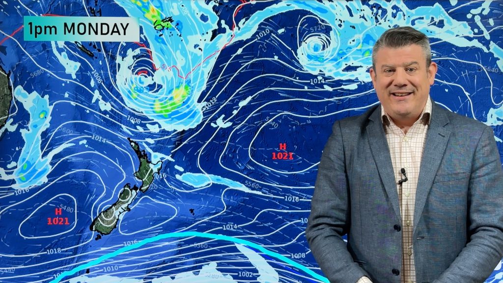
An enormous belt of high pressure continues to influence the South Island especially. High pressure will remain around the South Island for most of the week while the North Island sees the weekend’s subtropical low fall apart to the east as high pressure builds.
The week ahead is mostly dry and sunny but there are a few exceptions.
We’re likely to see a few more coastal showers hugging the eastern North Island, caught up in the southerly flow.
We’re also likely to see some daytime heat showers this week around the ranges and perhaps in Northland too where it’s warmer and more humid. By the end of the working week big downpours may be affecting Central and coastal Otago.
This coming weekend more high pressure crosses the country – but the daytime heat showers may well continue in isolated spots across the country, mostly near the ranges and inland.
Comments
Before you add a new comment, take note this story was published on 19 Nov 2017.


Add new comment