Weather VIDEO: A spring-like pattern is approaching New Zealand this weekend
3/08/2017 12:08am

> From the WeatherWatch archives
It was frosty for some in the South Island this morning while heavy rain affected Northland thanks to a sub-tropical low.
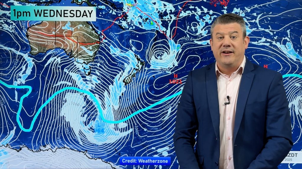
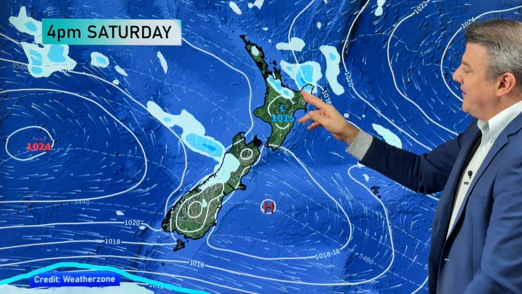
As we head into Friday and Saturday high pressure will be dominating in most places, but with the high centred to the east of New Zealand and a very big low in the Southern Ocean it’s the perfect recipe for windy westerlies – infant mild, windy, nor’westers.
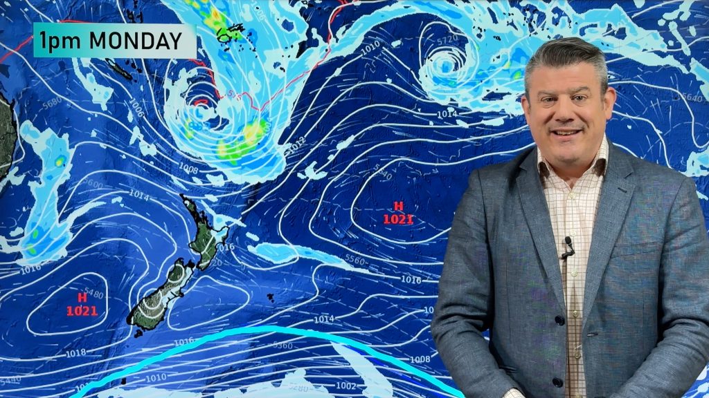
The airflow by Sunday will be partially sub-tropical and partially from the Australia interior and this will extend into Monday and early next week too.
These winds may reach gale to severe gale in some eastern and central areas in the coming days.
No matter how you look at it, it appears we’re entering a spring-like period of weather right in the depths of winter.
Comments
Before you add a new comment, take note this story was published on 3 Aug 2017.


Add new comment
Derek on 3/08/2017 7:33am
Fantastic weather reporting Phil, so full of information of conditions over and around NZ and other parts. Totally superior to any other NZ weather site.
Here in Whangarei I think we have had almost 24hours of rain, started late yesterday afternoon and still going this evening..Totally fed up with it.
Thanks Phil WW for excellent weather forecasting.
Reply