Warmer than average in eastern Australia, but a cool down is coming (+3Maps)
1/08/2018 9:12pm

> From the WeatherWatch archives
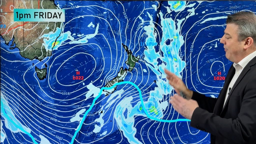
A deep trough is now passing over Australia and it’s pushing temperatures up well above average, also bringing rain and wind to the south and thunderstorms too.
Scattered thunder showers have been observed under a wide and long cloud area caused by a cold front.
Winds over 40km/h cover more than half of the land on Thursday. Temperature distribution is clearly divided into two by the front, with warmer trends in the east and cooler in the west.
Rainfall totals are not so big, but rainfall over Albany and Adelaide will persist until Saturday.


– WeatherWatch.co.nz
Comments
Before you add a new comment, take note this story was published on 1 Aug 2018.


Add new comment