> From the WeatherWatch archives
One more low this week, then clearing weather for all
Central Otago still frosty this week…end in sight though?
A band of heavy rain is slowly moving down Northland and should reach Auckland, Waikato and Bay of Plenty later this morning. Winds picked up a little in Auckland overnight with a few strong gusts, but most of the big winds remained offshore. Winds of up to 105km/h are still blasting the Hauraki Gulf.
The warm front moving across the North Island is going to bring a lift to temperatures this week. Auckland can expect highs tomorrow and later this week of around 16 maybe 17 degrees. Further north, places may even reach into 18 or 19. Overnight lows right across the North Island should be much higher with very few frosts expected, if any. It was around minus 2 in Kapiti this morning, the only part of the North Island dipping below zero.
Over the South Island Invercargill and Westland will be sunnier than the east coast with Central Otago still being affected by severe frosts. TRN’s Head Weather Analyst Philip Duncan says the feels like temperature in Queenstown is currently minus 10. In Dunedin it is minus 6. “This large high is still covering the lower half of the South Island. It should gradually slide away but the week will be a frosty cold one again for Central Otago”.
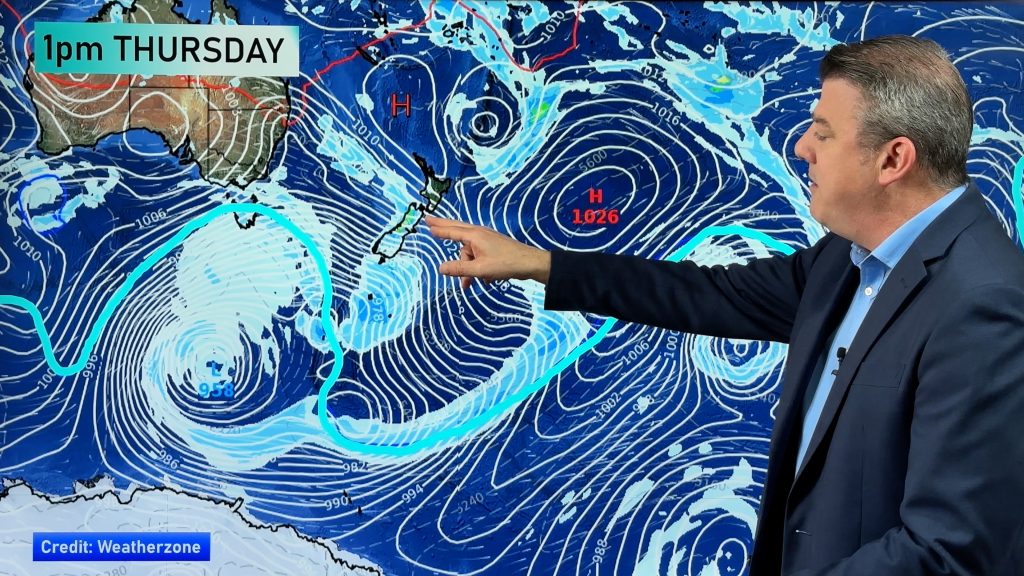
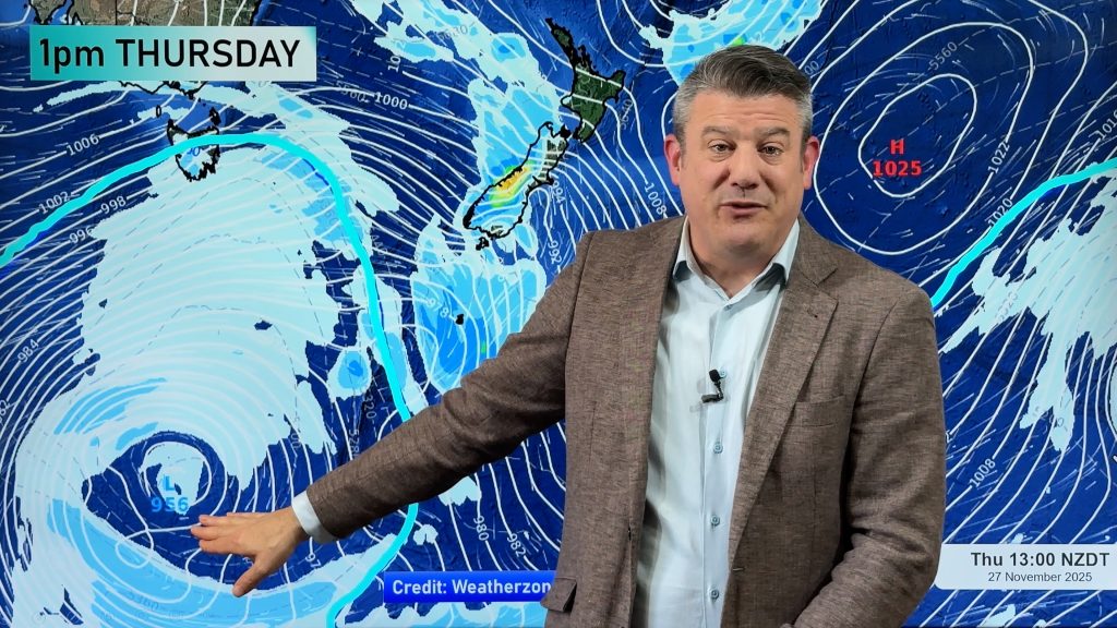
Duncan says the end of the frosts could be in sight. “A low, bigger than the one over the north today, should form in the central Tasman. By Thursday or Friday winds will pick up right across the country. It’s likely to be a showery Friday or Weekend for many”. However a large high south of Australia could mean clearing skies finally for the North Island by the end of this weekend.
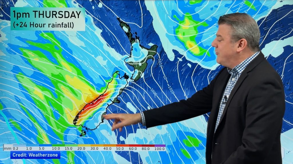
But before that Duncan says those living in Northland should keep up to date with the rain amounts expected with this Tasman Low. “Although the low won’t be as near to Northland as the past two, the associated fronts could bring some heavy rain again to the area”.
Comments
Before you add a new comment, take note this story was published on 15 Jul 2007.


Add new comment