> From the WeatherWatch archives
– THUNDERSTORMS FOR THE NORTH
– SNOW/FREEZING RAIN FOR THE SOUTH
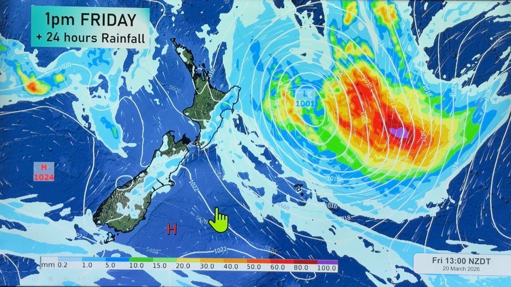
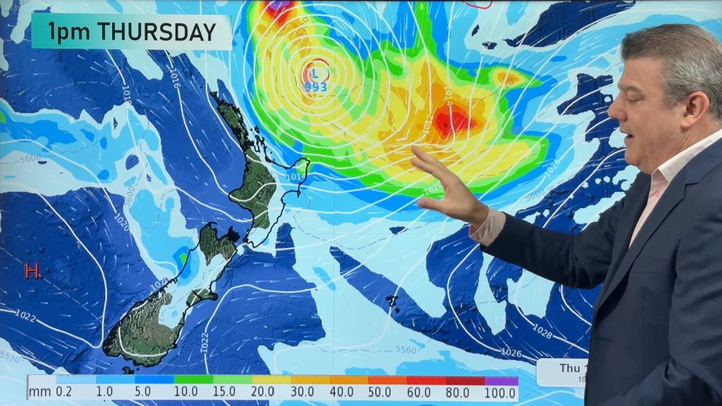
A low in the Tasman Sea is again mixing warmer sub-tropical air with colder Antarctic air creating spectacular thunderstorms out to sea and that system is moving our way. The Radio Network’s head weather analyst Philip Duncan says the low is not on the same scale as last weeks storm but still has the potential to pack a punch at both ends of the country. “Northland will be exposed to severe thunderstorms from this afternoon through to tomorrow morning. They will be isolated but if they hit a populated area it could cause surface and flash flooding. Rural communities should also be on high alert if they live near streams”. The air pressure is expected to drop quite a bit over northern New Zealand making for unstable weather conditions.
“This low will spiral over Northland, so the biggest rain and thunderstorm bands should miss areas further south. The chance of rain drops dramatically south of Whangarei”.
In the South Island the tail end of this low could see snow falling in Queenstown. “With temperatures dropping to minus 3 in Central Otago, coupled with rain we could see a mix of rain, freezing rain, ice pellets (sleet) and snow. Motorists should take extreme care across Central Otago during Friday and the weekend”.
Comments
Before you add a new comment, take note this story was published on 7 May 2008.


Add new comment