VIDEO: We’re seeing an uptick in higher temperatures (NOT for everyone!)
8/12/2022 11:19pm

> From the WeatherWatch archives
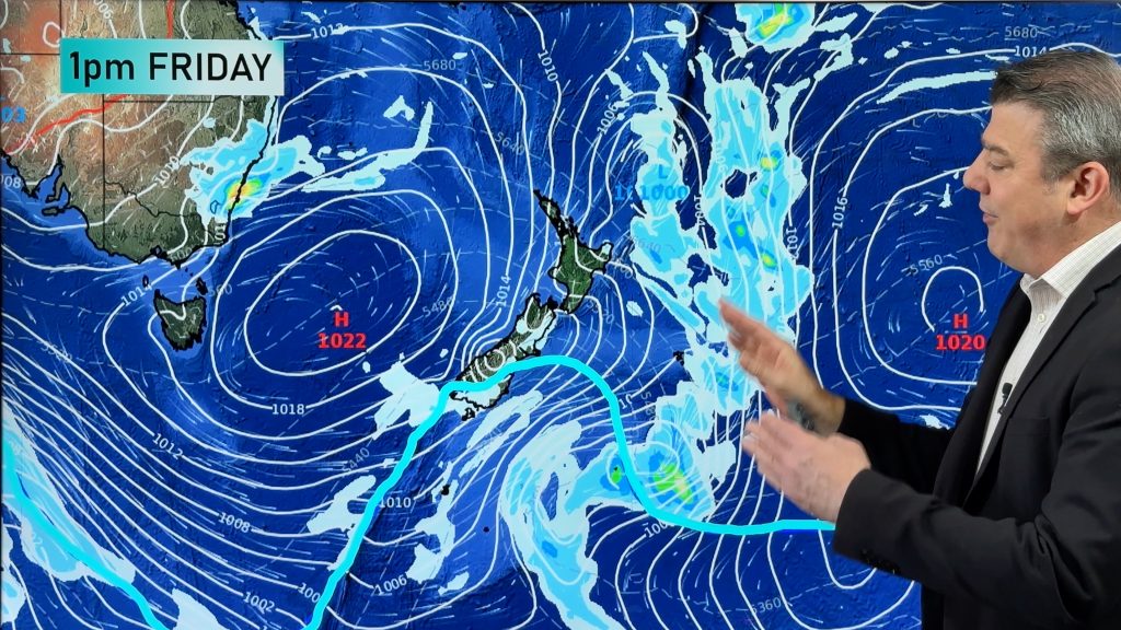
Tropical lows, higher daytime highs – you’d almost think it was summer! But in true end-of-year style the weather patterns around NZ, Australia and even into the tropics is very much still unsettled and a bit spring-like.
Southern parts of Australia in particular have some windy, colder, bursts of weather in the coming week.
In contrast NZ is looking much warmer – but also unsettled as a low and associated front move in from the west and start to fall apart.
Have a great weekend!
*Programming note – We apologise but we have no video on Monday Dec 12th (it’s the silly season) – but we’re back on Tuesday. Also, worth reminding everyone that our final daily/regular weather video of 2022 will be on Friday December 23rd.
Comments
Before you add a new comment, take note this story was published on 8 Dec 2022.


Add new comment
Sara jaid Ritzema on 9/12/2022 1:13am
You People have never failed me with Weather reports nand I thank You All. Merry Christmas and Happy 😊 New Year for 2023. I wish You All Prosperity and Good Health for the New Year. Kind Regards Sara jaid Ritzema
Reply
Ian on 9/12/2022 12:36am
Just a query regarding the “deprature from normal” map. The map had Taupo at normal and it seemed to the east, it was just below normal. I don’t have the data for day to day temperatures in December but according to NIWA data the average December high is 20.7c. We are bascially at 16c high with an expected high of 17c at 11pm. It seems we are considerably lower than normal. Have the heat pump on here on warm. Just saying.
Reply
WW Forecast Team on 9/12/2022 7:31pm
Hi Ian, thanks for the message. I’d say that map was pretty accurate, but not perfect. Taupo is literally on the border of normal or slightly cooler than normal. There’s always some wiggle room with rain and temp forecast maps lining up with reality – so when I glance at that map I’d have thought Taupo was in the normal to slightly cooler than normal group. It’s not a perfect science, it’s a general guide to help people see where the big/main cooler and warmer airflows are nationwide – unless you’re in the thick of a colour (like dark blue or dark red) there will always be localised fluctuations. Hope that helps.
Cheers
Phil D
Reply