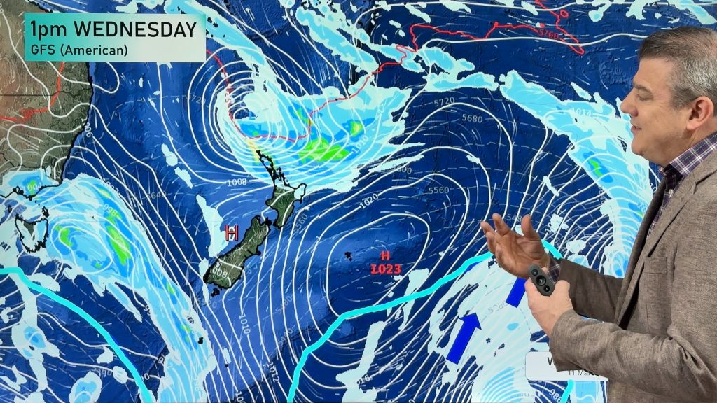
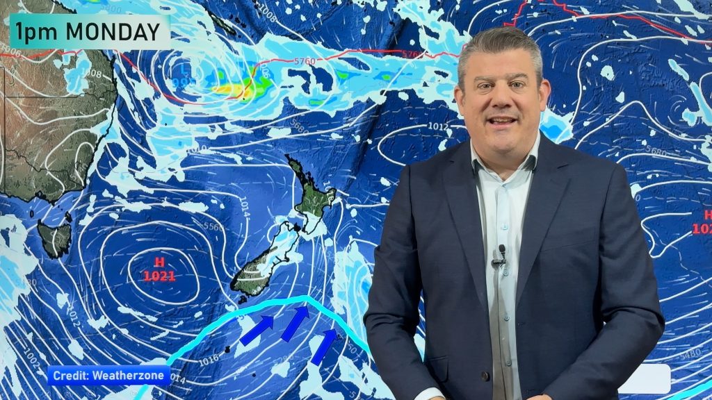
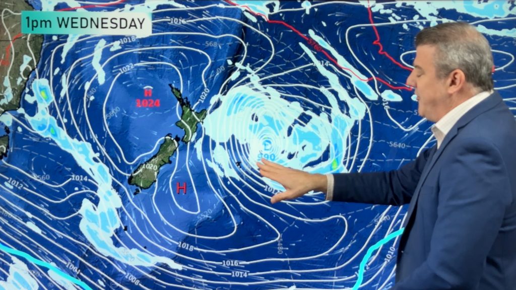
VIDEO: Tropical Cyclone threat for Queensland, wintry change for NZ’s Sth Is.
21/01/2024 10:42pm

> From the WeatherWatch archives
A dusting of snow and sub-zero temperatures above a few hundred metres for the South Island later on Tuesday as a dramatic cold front sweeps through and drops temperatures by over 12 degree in some places.
While the cold front does move into the western side of the North Island on Tuesday it will still get up to the late 20s and low 30s for some places. By Tuesday night and Wednesday morning the entire country will be cooler.
We have your NZ Forecast through to Sunday – with another cold front moving up NZ this weekend, but not as dramatic or punchy as Tuesday’s one. Meanwhile the next Tropical Cyclone threat for Queensland is here. The new cyclone is expected to be named within 24 hours and will likely make landfall around Townsville on Thursday – however exact landfall is not yet known.
Programming Notes:
– Tuesday we have 2 videos: 1) NZ only. 2) Pacific Islands Update (covering the Queensland cyclone)
– Wednesday we have 2 videos: 1) NZ only. 2) Australia only 7 day Outlook (brought forward one day due to the Queensland cyclone)
– Thursday we have 1 video: 1) NZ only
– Friday: we have NO video (nor next Monday for Auckland Anniversary Weekend).
Comments
Before you add a new comment, take note this story was published on 21 Jan 2024.


Add new comment