VIDEO: Sunday update on Cyclone Gabrielle for NZ
12/02/2023 12:39am

> From the WeatherWatch archives
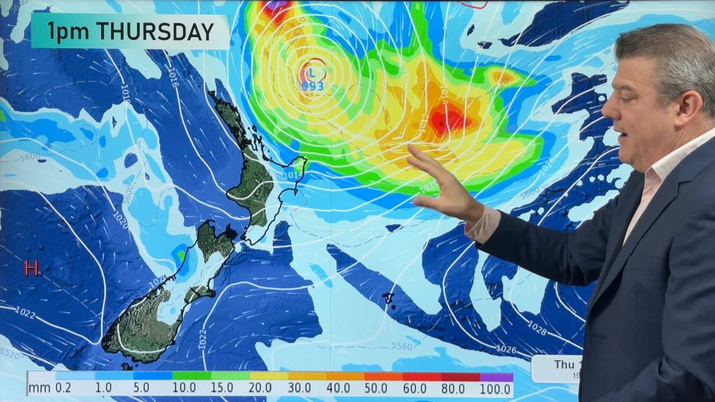
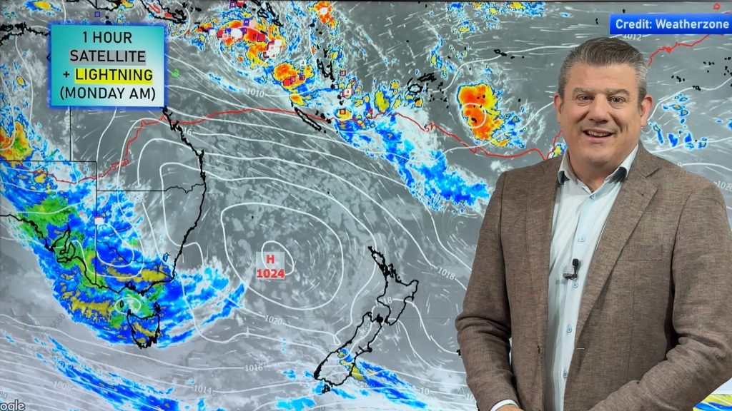
Cyclone Gabrielle is moving into the New Zealand area with severe gales and heavy rain. There are many moving parts to this storm – so we try to break it all down for you, including explaining what it means to go from a Tropical Cyclone to an Extra-Tropical Cyclone.
Gabrielle is expected to deepen again as it moves closer to Auckland and Coromandel Peninsula on Monday night and Tuesday morning – before weakening to some degree late on Tuesday and moving off the North Island to the east on Wednesday.
Our next video update will again be early afternoon on Monday – weather and electricity dependent. If for whatever reason we cannot record a video on Monday or Tuesday, we’ll be providing news updates on our website: WeatherWatch.co.nz and RuralWeather.co.nz instead.
Please follow the advice of MetService and your local Civil Defence.
Comments
Before you add a new comment, take note this story was published on 12 Feb 2023.


Add new comment
james mau on 12/02/2023 3:26pm
Excellent explanation, thankyou.
Reply
Donna on 12/02/2023 9:47am
Great explanation
Reply
Becky ambrose on 12/02/2023 9:45am
Thankyou I feel I have clear understanding now I appreciate that!! 🤗
Reply
Terry on 12/02/2023 8:56am
Perfectly explained, thanks
Reply
Linda on 12/02/2023 8:18am
Thanks for clearing all of that up!!
Reply
Gina Tahata on 12/02/2023 7:30am
Ngā mihi nui team
Reply
Terry on 12/02/2023 7:02am
Tell me: As the strong winds circulate clockwise from outside to concentrate in the centre; where does the cyclonic wind? then release it’s pressure/force in he centre? Upwards? Downwards? completely dissipate in the centre? I hope I have explained that.
Reply
WW Forecast Team on 12/02/2023 7:48am
Hi Terry – in this case the winds are now expanding out from the centre as the centre gets larger. Air is pulled into the low from all around, but the centre is getting wider so that pushes out the strongest belt of gales. It’s quite complicated in the process to explain as it’s going through a lot of change right now as it sorts itself into a new storm.
– WW
Reply
Gavin on 12/02/2023 6:48am
Great to see scientific analysis of our weather instead of reading tea leaves like the media does.
Reply
Paul on 12/02/2023 5:51am
Thanks team. Always useful info here
Reply
View more comments