VIDEO: OZ 7 Day – Eastern drenching, then cooler + Darwin’s cyclone risk
3/04/2024 10:57pm

> From the WeatherWatch archives
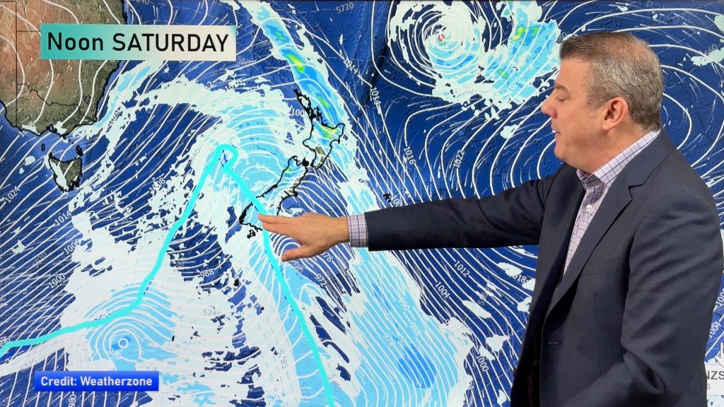
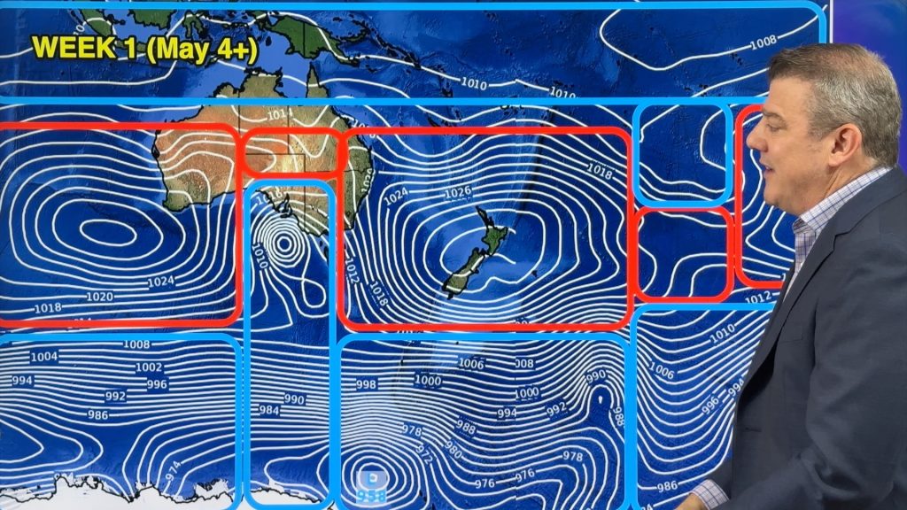
Thunderstorms and heavy downpours will affect NSW, parts of QLD and maybe even the ACT and Victoria in the coming days as a small area of low pressure lingers. Rainfall totals may exceed 100mm in some locations. Next week, once this rain has moved through, a colder southerly comes in with a chance of snow on the mountains and ranges of Tasmania and then frosty weather through higher elevations as far north as northern NSW.
It will be a significant temperature reset for some locations, and even spreading into central areas like Alice Springs. But it remains hot in the west with some locations still in the mid to late 30s.
There are two tropical lows worth monitoring – an offshore one from Broome and then, potentially, a new storm system north of Darwin. This is not yet locked in but has been showing up in modelling for a few days now.
In the tropics lows can form and drift in any direction – so it’s very early days and, for now, there is no threat to land. But later next week the tropics will have some low pressure and very heavy rain worth monitoring.
We’ll catch you again next week!
Comments
Before you add a new comment, take note this story was published on 3 Apr 2024.


Add new comment