VIDEO: Our first Christmas Day forecast for NZ, Australia & Fiji is out!
12/12/2022 10:48pm

> From the WeatherWatch archives
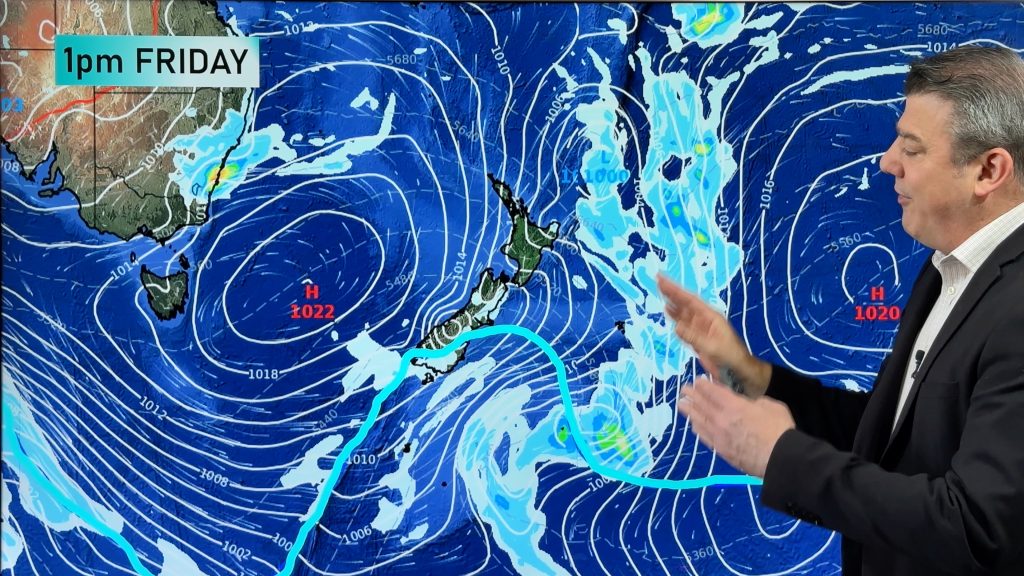
We have low pressure dominating this week – but high pressure next week giving us our first Christmas Day outlook across New Zealand, Australia, Fiji and the South-west Pacific region.
This week low pressure north of NZ and in the Tasman Sea will be the dominant features with high pressure mostly out at sea.
Next week high pressure drifts over Tasmania and into the NZ area – drying things out for a time and hopefully lingering through Christmas Day.
From today (Dec 13) we’ll bring you a weather map for Christmas Day via our long range modelling in our daily weather videos, right through to our final update for the year – next Friday (Dec 23).
Comments
Before you add a new comment, take note this story was published on 12 Dec 2022.


Add new comment