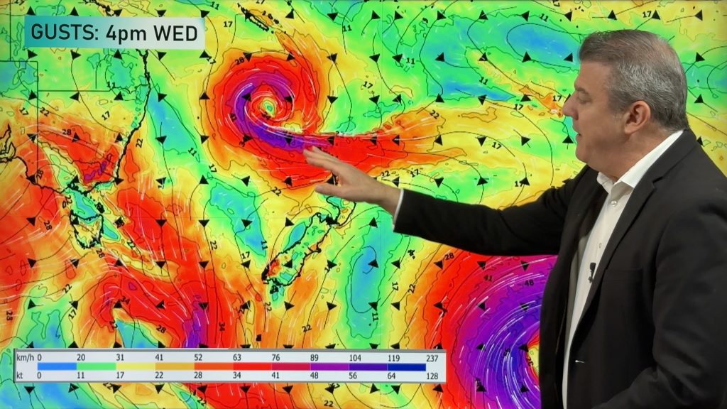
VIDEO: NZ: Cooler nights, more high pressure & a sub-tropical low
4/03/2024 10:51pm

> From the WeatherWatch archives
High pressure is moving into NZ over the next week ahead but will be challenged by wet weather from both the north and south.
The next cold front comes in on Thursday then falls apart as it tries to head up NZ.
This weekend high pressure dominates, but next week a sub-tropical low to our north may be worth monitoring. This far out it is not locked in, but as some of you are seeing in long range models it may affect the NZ area – but again, not locked in yet. We have more details on this low in our 7 Day Pacific Weather Update, out this afternoon.
Finally – tonight will be a cold one for inland parts of the South Island and up to the Central Plateau with frosts possible, especially around the Southern Alps.
*Programming Note: We have no weather video on Wednesday – back again Thursday!
Comments
Before you add a new comment, take note this story was published on 4 Mar 2024.


Add new comment