VIDEO: NZ 7 Day: King’s Bday weekend + Winter arrives!
30/05/2025 12:48am

The long weekend is here and with it comes the official start of winter on the meteorological calendar.
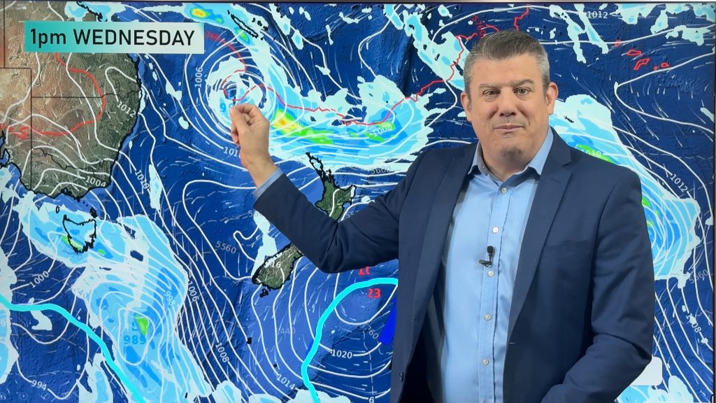
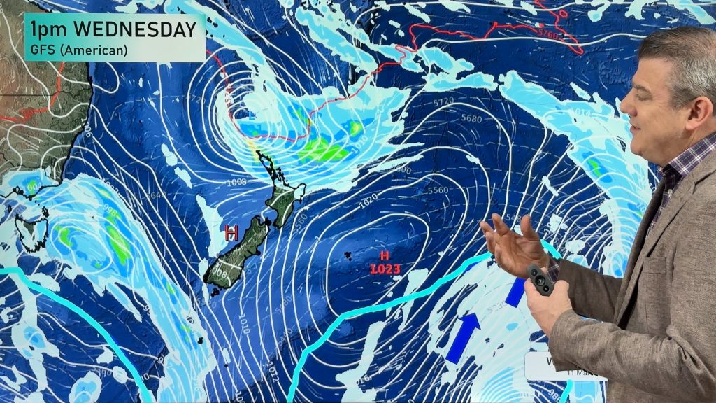
The weather pattern is wintry today in the southern part of NZ as the main pulse of cold air moves in today, then gradually retreats back southwards over the long weekend, with milder westerlies returning to the south by Monday.
Western regions of both islands have windier weather off the Tasman Sea and that brings showers all along the western coastline this long weekend.
Driest and mildest weather will be at the very top and eastern sides of NZ.
Next week another large low may bring more rain, thunder and wind – followed by a wintry change end of next week (not yet locked in but showing up for days in long range models).
Comments
Latest Video

Temperatures to lift, before dropping again this weekend
Subtropical and north-west winds will help boost temperatures around NZ both by day and night followed a colder couple of…
Related Articles
Temperatures to lift, before dropping again this weekend
Subtropical and north-west winds will help boost temperatures around NZ both by day and night followed a colder couple of…
Subtropical low vs subantarctic energy = typical early Autumn setup
A low pressure zone leaving Queensland tonight may brush the very top of the North Island midway through this week…
Subtropical low next week worth monitoring as high pressure controls all
High pressure smothers NZ today and will weaken a little on Sunday and Monday to allow a cooler southerly flow…


Add new comment