VIDEO: Northern fog Saturday, Southern wintry change next week
24/07/2024 12:12am

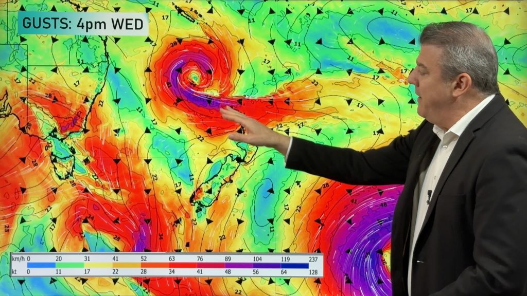
> From the WeatherWatch archives
High pressure will cross over the North Island on Friday and Saturday bringing foggy areas in the north of NZ, but encouraging milder nor’westers in the South Island.
By Monday that high is out east of NZ and a potential wintry change comes into the South Island – but as we said yesterday there are a lot of moving parts to this and it may not pan out as forecast. We explain today two different scenarios – neither of them are locked in.
Sometimes the chaos of the winter weather systems south of NZ and around NZ can make it very difficult to lock things in, in advance – the issue with this set up is uncertainty about the precise shape of the anticyclone over south-eastern Australia, and every change in the forecasts on the shape of this one high dramatically changes the outlook for NZ. We have the latest – and will continue to cover it in our videos on Thursday and Friday this week. Put short – next week looks messy in NZ weatherwise, especially compared to how this week is going.
Comments
Before you add a new comment, take note this story was published on 24 Jul 2024.
Latest Video

Unsettled Thu/Fri, high pressure returns this weekend & next week
Wind and some wet weather is moving into both ends of NZ today and tomorrow bringing broken up rain bands…
Related Articles
Unsettled Thu/Fri, high pressure returns this weekend & next week
Wind and some wet weather is moving into both ends of NZ today and tomorrow bringing broken up rain bands…
Subtropical low, windy for some, then high pressure slowly returns
It’s cloudy and windy for parts of New Zealand today with the North Island especially gloomy under cloud associated with…

Temperatures to lift, before dropping again this weekend
Subtropical and north-west winds will help boost temperatures around NZ both by day and night followed a colder couple of…


Add new comment