VIDEO: Low pressure this weekend, wintry bursts next week
12/09/2024 12:58am

> From the WeatherWatch archives
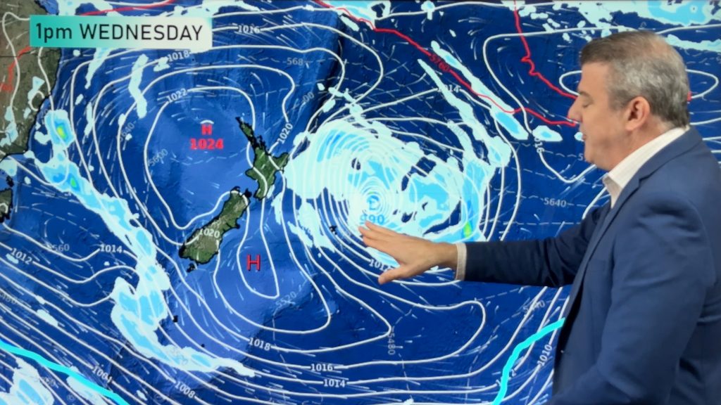
It’s a messy forecast for many parts of the country over the next four or five days as high pressure moves away and weak low pressure starts to move in. This means there will be plenty of cloudy areas, showers, drizzle patches – and rain may set in as well. Large dry areas are also in the mix. The weather is a bit changeable so keep up to date with our forecasts at WeatherWatch & RuralWeather – they update hourly.
Snow may also be falling around the South Island for a time this weekend, potentially to lower levels around Southland, Otago and even Canterbury – although snow totals may not be all that great at lower levels, snow is possible. Heavier snow is likely at higher elevations.
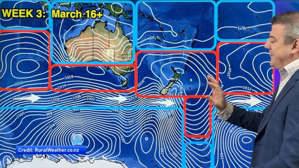
Next week a wintry and windy South-West flow moves in and this will see snow across both main islands and temperatures down nationwide.
Comments
Before you add a new comment, take note this story was published on 12 Sep 2024.


Add new comment