VIDEO: Latest on Cyclone threat to NZ this Sun to Wed
7/02/2023 10:36pm

> From the WeatherWatch archives
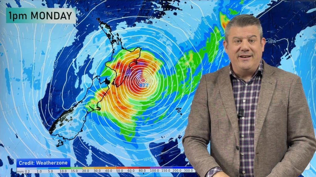
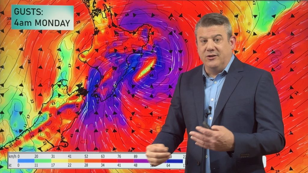
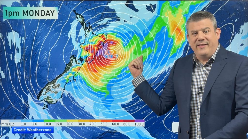
Tropical Cyclone GABRIELLE has formed this afternoon in the Coral Sea and is expected to quickly become a Severe Category 3 storm by Thursday afternoon – with almost all modelling showing it directly tracking into the North Island by Sunday/Monday.
Despite this, it’s still too early to 100% lock in – but confidence is fast increasing that widespread severe weather may affect the North Island from this Sunday to next Wednesday.
It can’t yet be locked in because the precise tracking of the centre of the storm isn’t yet known – but it’s starting to look ominous for the North Island.
Please note, this video was recorded a couple hours before the cyclone was named.
Here’s the latest…
Comments
Before you add a new comment, take note this story was published on 7 Feb 2023.


Add new comment
Alex on 8/02/2023 3:37am
Good Afternoon Phill
Thanks for all the updates on the storm. Your doing a good job at keeping us updated, by any chance would you know why Met Service has been quite on this storm? I have not heard much from Met Service or 6 o’clock news about this storm, seems like they are not really rasing any alarm bells.
What worries me is the case of the last flood in Auckland recently where Met Service and news channels didn’t really warn people of the huge rain and floods, plus also the authorities were not any better in giving out advice or warnings until the rain really poured down
Reply
WW Forecast Team on 8/02/2023 3:59am
Hi Alex, thanks for the support. MetService were actually first to announce the potential cyclone on Waitangi Day – https://twitter.com/MetService/status/1622378307764502528. Their Twitter feed has a number of updates about the storm which they’ve been giving to the media (same with us too – we’re very active on Twitter: https://twitter.com/WeatherWatchNZ.
We’ve also been in touch with utilities in Auckland and have shared that information with Auckland Council’s emergency management past two days.
-Cheers WW
Reply
Kerry on 8/02/2023 2:18am
We need you guys covering the news on TV. If it comes Auckland way will it be severe?
Reply
WW Forecast Team on 8/02/2023 3:59am
Hi Kerry, thanks for the support. Yes if it comes into Auckland we expect severe weather. Severe weather is already showing up in some of our longer range forecasts for next week.
– Cheers WW
Reply
Simon on 8/02/2023 1:39am
Thanks you for such a clear , concise and completely Te Reo free weather forecast
Reply
Kat on 8/02/2023 10:27pm
Great use of Te Reo Simon awesome to see!
Reply
Fleur on 8/02/2023 1:36am
Hi WW team. Just wondering by which day you will have a high degree of confidence on the tracking of the storm? We have boat trips planned out of Auckland next Tuesday and Wednesday. Is it likely that there will be a high degree of confidence in the tracking by Friday lunchtime? (Note of course we will cancel if the FC remains as is!) Thanks for your informative and balanced updates!
Reply
WW Forecast Team on 8/02/2023 4:01am
Hi Fleur – our forecasts (powered by IBM) are already crunching data and shows that Auckland has a fairly chance of gales and dangerous marine conditions on Tuesday and Wednesday – even before we’ve confirmed the path of Cyclone Gabrielle. By Friday lunchtime we’ll be more confident of tracking, unless the modelling does something big and changes overnight (not expected, but always possible).
– WW
Reply
View more comments