> From the WeatherWatch archives
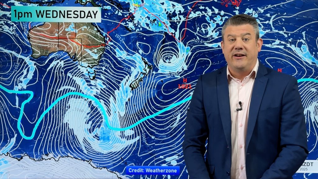
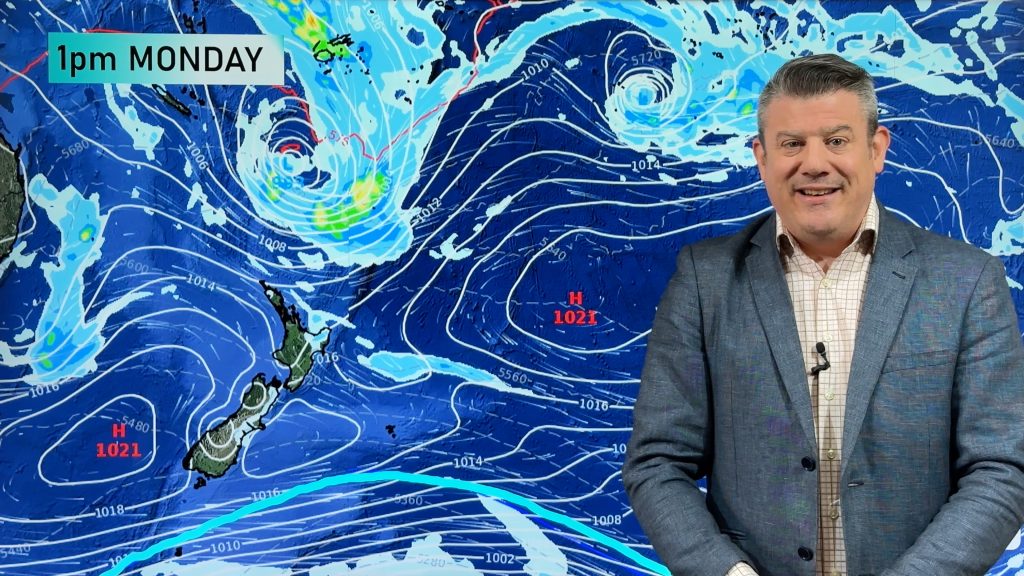
An enormous high pressure system (anticyclone) is crossing New Zealand this week bringing warmer than normal daytime highs pushing up to 30 degrees for some areas in the days ahead.
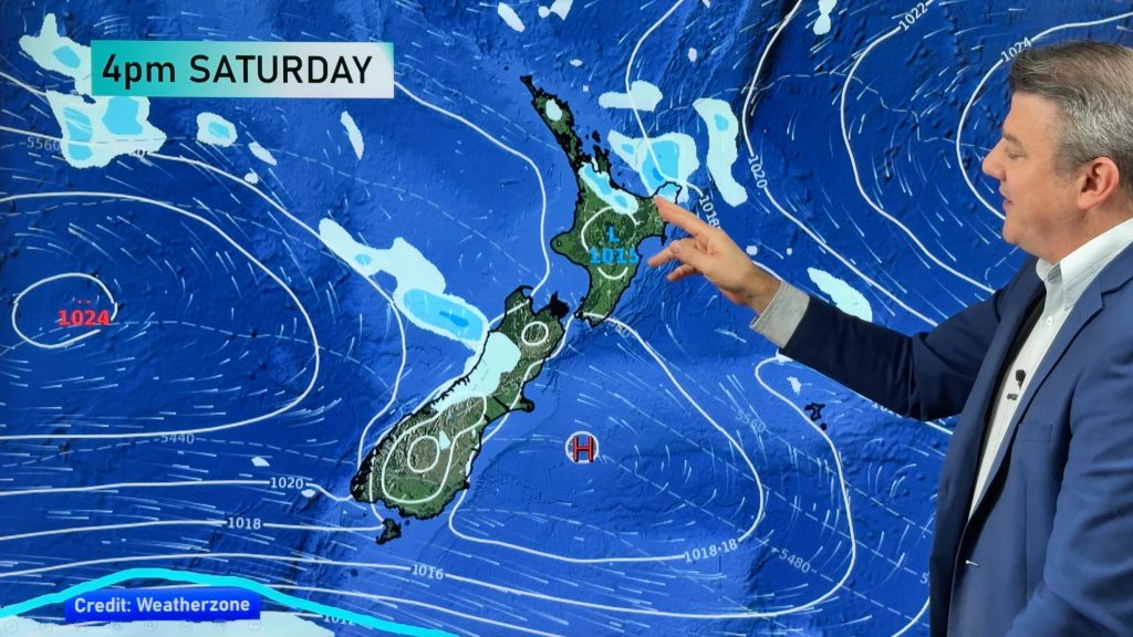
Some rain in Fiordland will push northwards up the West Coast over the next few days, heaviest falls south of Hokitika.
By the end of the week much of the country will have a sub-tropical northerly flow which might help spark a few showers around Thursday and Friday in some of our driest regions.
The wet weather isn’t locked in but looks as though showers are quite likely in western and northern NZ later this week.
Comments
Before you add a new comment, take note this story was published on 3 Mar 2019.


Add new comment