VIDEO: High pressure returning to NZ, but all eyes on the Tropics
18/02/2025 1:00am

> From the WeatherWatch archives
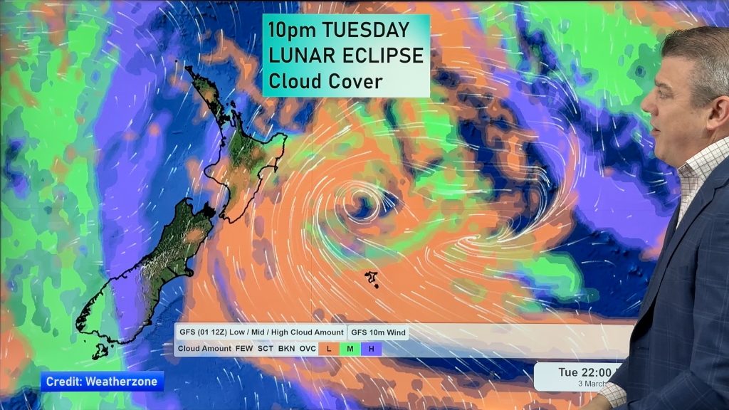
Low pressure covers NZ for the rest of Tuesday but clears away Wednesday as westerly quarter winds return to the country. Over Thursday and Friday many regions become drier again, but a cold front late Thursday and into Friday will move up the South Island dropping temperatures and bringing some wet weather.
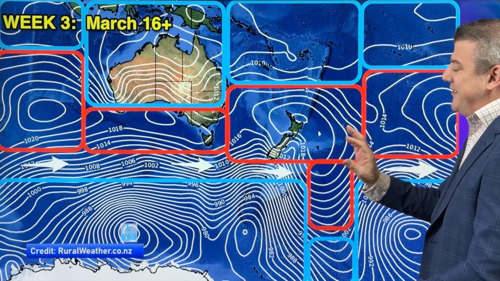
High pressure from the west is likely to “bulldoze” that wet southerly east of the nation as we go into the weekend – which will keep more of the North Island drier.
High pressure crosses NZ this weekend and into next week.
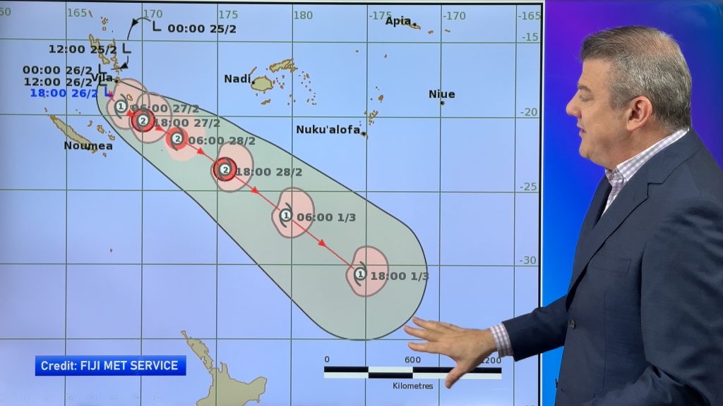
At the same time two tropical lows north of NZ are worth monitoring. One likes near Tonga, just to the north. The other is yet to develop over the Coral Sea. Both are worth keeping an eye on in the week or two ahead. We’ll have more details on Wednesday.
Comments
Before you add a new comment, take note this story was published on 18 Feb 2025.


Add new comment