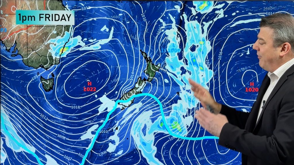
VIDEO: High pressure our main driving force for rest of January
19/01/2023 11:03pm

> From the WeatherWatch archives
IRENE is now an Ex-tropical cyclone and poses no more threat to land – now high pressure will dominate not only NZ’s weather but will bring a showery several days to eastern Australia with easterlies there and it will also limit tropical lows from forming.
The incoming high will take several days to track from current location south of West Australia – to lie over NZ by the middle of next week.
Over the next few days the lower South Island has lower temperatures as the southerly ahead of the high moves in – by mid next week light winds, sea breezes and lake breezes will lead to inland downpours and thunderstorms for parts of NZ, but generally dry for most.
*please note, we’re working on improved audio in the coming weeks.
Comments
Before you add a new comment, take note this story was published on 19 Jan 2023.


Add new comment
Christopher Randal on 20/01/2023 12:46am
“it will also limit tropical lows from forming.”
Surely the conditions in the Coral Sea and about Cape York are what allows these lows to form, not conditions over NZ?
Reply
WW Forecast Team on 20/01/2023 12:57am
Not if high pressure pushes up into the sub-tropics, which this next high will do – meaning if any cyclone does form in the Coral Sea, the moment it drops as far south as New Caledonia it will be dealt with wind sheer – basically when the top of the low gets cut off by higher level winds, and it breaks the low from spinning nicely and being a storm. The high south of Australia will be the more dominant feature.
– WW
Reply