VIDEO: High dominates – but lows return in a week
9/07/2024 12:18am

> From the WeatherWatch archives
As we keep saying a “huge high” is over the top of NZ this week, mostly the South Island – which allows cloud and a few isolated showers to sneak into the eastern and upper North Island.
Most of NZ is drier than average for the next week ahead.
However next week the second week of the school holidays may be different as the high slinks off to our south-east and a new low pressure zone(s) forms over the Tasman Sea. Next week may have milder weather but also rain returning too.
We have your forecast for the rest of this week, weekend and the start of next week.
PROGRAMMING NOTES:
*We have no videos on Thursday due to travel.
*Wednesday will have both our NZ forecast and our 7 Day Australia forecast (one day forward as usually on a Thursday).
*Friday has the usual 7 day ‘RainWatch’ update for NZ.
Comments
Before you add a new comment, take note this story was published on 9 Jul 2024.
Latest Video
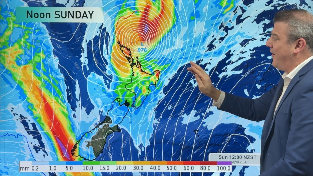
NZ: Bit of an unsettled week, but a tropical cyclone this weekend
Wind and rain affects a number of regions as we kick off this week as strong high pressure departs to…
Related Articles
NZ: Bit of an unsettled week, but a tropical cyclone this weekend
Wind and rain affects a number of regions as we kick off this week as strong high pressure departs to…
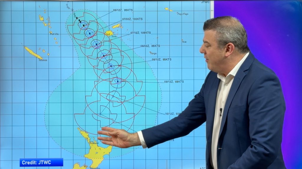
[TUES update] Tropical Cyclone VAIANU: Fiji then NZ
Fiji is being affected today by offshore Severe Tropical Cyclone Vaianu and NZ has the chance of a direct hit…

NZ Easter Weather Update + monitoring the tropics for storm potential
High pressure smothers New Zealand as we head into the long weekend bringing mostly dry weather and light winds, with…


Add new comment
Pete on 9/07/2024 1:36am
Love your videos – best out there – I really think you would get a lot of cut through with a snow forecast once a week in the three months that count.
Cheers
Pete.
Reply
WW Forecast Team on 9/07/2024 1:55am
Hi Pete, thanks very much for the support! Yes we’re keen to – but right now we don’t have the spare time or the best maps to create the videos – but we’re hoping to partner with others to do this for next year and have already started work on a snow page.
Cheers
– WW
Reply
Terry on 9/07/2024 12:53am
Hi,
Any signs of a major cold outbreak headed for NZ any time soon?
Is that big cold front passing through Australia late this week going to make its way to us over here?
We haven’t had any snow to Queenstown Lake level yet this year which is quite unusual, hoping this cold front changes things.
Reply
WW Forecast Team on 9/07/2024 4:51am
Hi Terry, within the next 7 to 10 days it doesn’t look very likely. Temperatures are above normal now in the days ahead, especially this weekend. Cold nights still though, but not as cold as normal – and very dry. We need high pressure over Tasmania shaped north to south to really dredge up a southerly for us, at the moments it’s over us and as it moves away it will likely drag in some milder weather… perhaps after that might be the next chance. Interestingly the Australian Alps have had more snow lately than NZ, and also -12 to -14C in Tasmania last week!
Phil D
Reply