VIDEO: Fog, cloud, some wet weather as low pressure controls NZ’s weather
16/07/2024 1:25am

> From the WeatherWatch archives
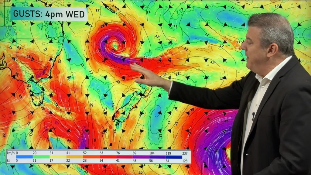
More fog patches, cloudy areas and rain bands/showers are coming for NZ as low pressure dominates the weather pattern in our part of the world, just one week after the most powerful high pressure zone in our recorded history tracked over (breaking a 135 year old record).
The change from a large high to a large area(s) of low pressure means cloud and wet weather is more likely than last week – and frosts are less likely overall. Some places have sub-tropical winds.
Driest weather will be in the south of the South Island. We track the low pressure zones – how long they linger for – and what likely happens once it all moves through.
Comments
Before you add a new comment, take note this story was published on 16 Jul 2024.


Add new comment