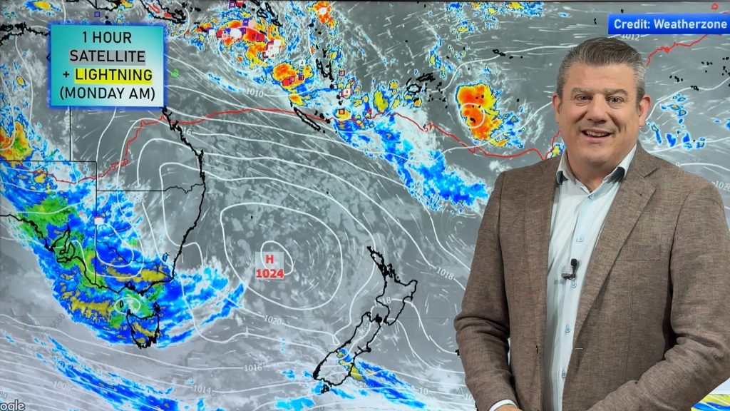
VIDEO: Cyclone Gabrielle finally departs NZ next 24 hours
14/02/2023 11:02pm

> From the WeatherWatch archives
Some lingering wind and rain for the southern and eastern sides of the North Island today, and the north eastern side of the South Island – but the storm is slowly tracking away from the North Island and is weakening at the same time too.
A few heavy downpours and isolated thunderstorms will develop around the upper North Island in the coming days – but they don’t look overly widespread.
Australia is fairly settled although Cairns and other parts of Queensland look especially wet in the coming 5 days.
We take a look at where Gabrielle goes, where the next high pressure zone is – plus an update on the tropics with low pressure zones around Fiji and Tonga worth monitoring (but posing no threat to NZ at this stage).
Comments
Before you add a new comment, take note this story was published on 14 Feb 2023.


Add new comment
Lynda Jury on 15/02/2023 8:59am
Great and clear presentation… I have come to rely on Weather watch for the accurate forecast, as we have such a poor detail of weather forecast on Television for the Northland Region
Reply
Mel on 15/02/2023 6:41am
Just seconding what other commenters have said, your info and frequent updates have truly been some comfort throughout the cyclone, especially here in Northland where we had 3 really full-on days of it!
Reply
james mau on 15/02/2023 3:57am
Another awesome update, have followed these religiously throughout, much appreciated.
Reply
Tom on 15/02/2023 3:32am
Thank you to all the team at WeatherWatch, and to Duncan, who provide us unschooled weather watchers with clear, well researched, and easily understood forecasts. Over the last few weeks of storms and cyclones this service has been really helpful and particularly useful in planning ahead. Thank you!
Reply
Kitty on 16/02/2023 2:16am
Duncan is his last name. His name is Philip.
Reply