VIDEO: Cyclone Alfred (Tuesday) – Brisbane & NSW in the firing line
4/03/2025 3:57am

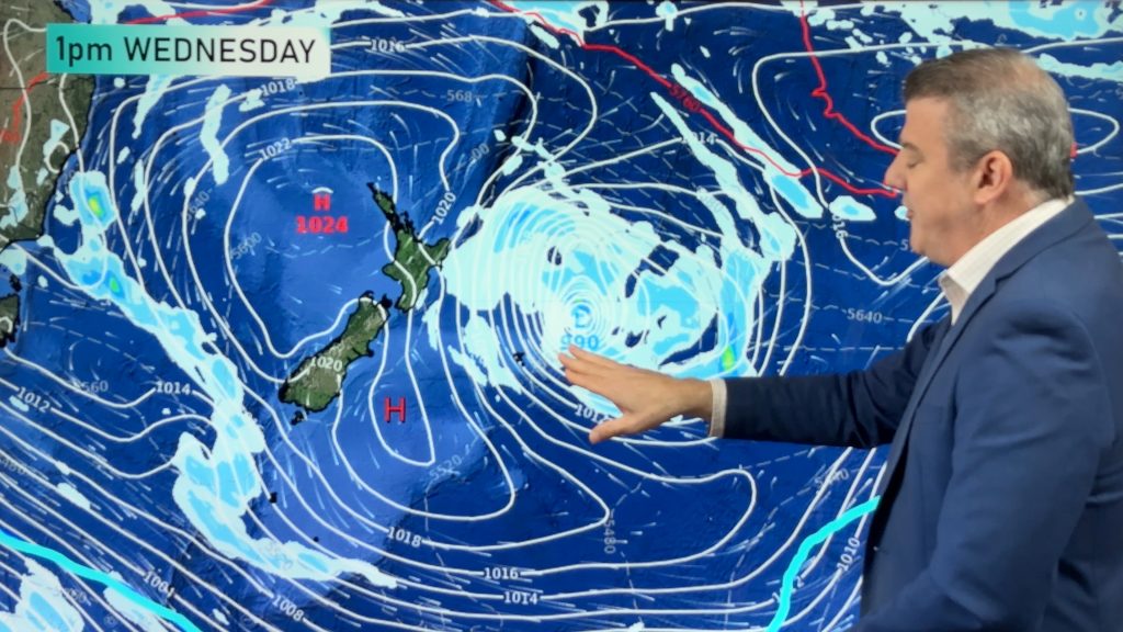
Cyclone Alfred continues to churn well offshore from Qld and NSW today but on Wednesday it should start to track more westwards directly towards Brisbane. The zone for landfall is narrowing and today it looks most likely to be between the Qld/NSW border and just north of Brisbane itself. This places Brisbane city directly in the path of some of the most severe weather.
Meanwhile very large and destructive waves will increase around Brisbane, the Gold Coast and a large portion of NSW in the coming days.
We also look at what Alfred’s rainy remnants may do to parched inland parts of NSW and Victoria in the week ahead. Keep up to date with the Bureau of Meteorology in Australia for official local warnings in NSW and Qld in the next few days.
Our next Cyclone Alfred update will be on Wednesday.
Comments
Latest Video
Yes, NZ’s weather is warming back up again
Temperatures lift on Wednesday for many, then further going into Thursday and Friday as subtropical and/or nor’westers return. Cooler southerlies…
Related Articles
Yes, NZ’s weather is warming back up again
Temperatures lift on Wednesday for many, then further going into Thursday and Friday as subtropical and/or nor’westers return. Cooler southerlies…
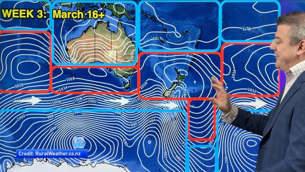
ClimateWatch: MARCH is looking quite orderly to start with
Storms near Antarctica, Autumn’s westerlies building south of Australia & NZ, high pressure again affecting both nations and the tropics…
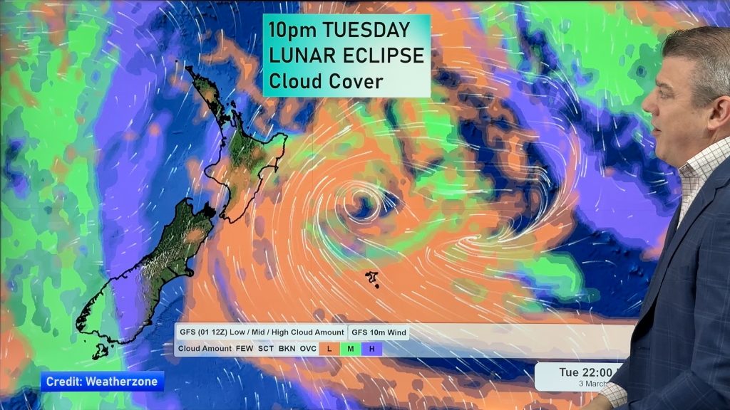
Colder tonight for many, Lunar eclipse Tuesday, high pressure dominates
A lot of low pressure is spinning east of the country while a large high is moving in – this…


Add new comment