VIDEO: Cooler weather for NZ next few days + New cyclone potential for Western Australia
3/04/2019 9:46pm

> From the WeatherWatch archives
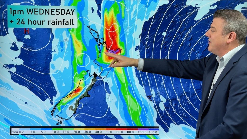
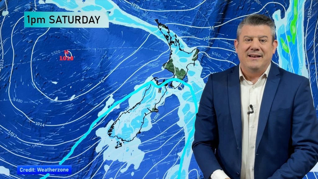
An enormous area of high pressure is centred over Tasmania and covers much of Australia and the Tasman Sea – stopping significant rainmakers from reaching NZ. However the air flow around the high will encourage showers, some may be a little heavy in eastern areas. These showers look likely to become more confined to the North Island overall but some will definitely impact the South Island too.
It will be cooler for the next few days and nights with frosts possible through the South Island mountains tonight and again early Saturday.
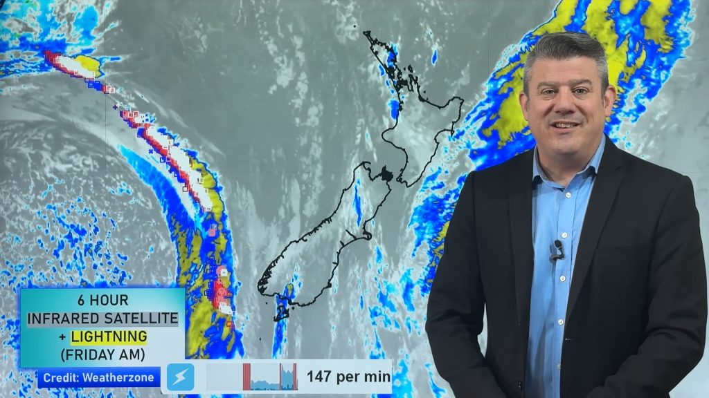
We also take a look at Western Australia where the Pilbara is expecting another tropical cyclone next week and may well make landfall in the same place Cyclone Veronica did a couple of weeks ago, around Port Headland and Karratha.
Comments
Before you add a new comment, take note this story was published on 3 Apr 2019.


Add new comment